Adjustment of It Ong Commune to Establish It Ong Commune-Level Town, Muong La District, Son La Province
On January 08, 2007, the Government of Vietnam issued Decree 03/2007/ND-CP regarding the adjustment of administrative boundaries of communes; establishment of communes and commune-level towns in Muong La, Thuan Chau, and Moc Chau districts, Son La province.
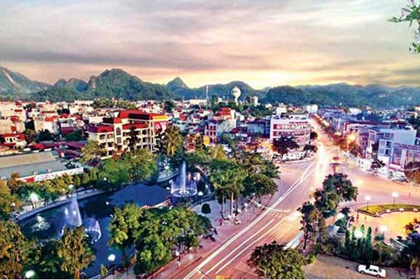
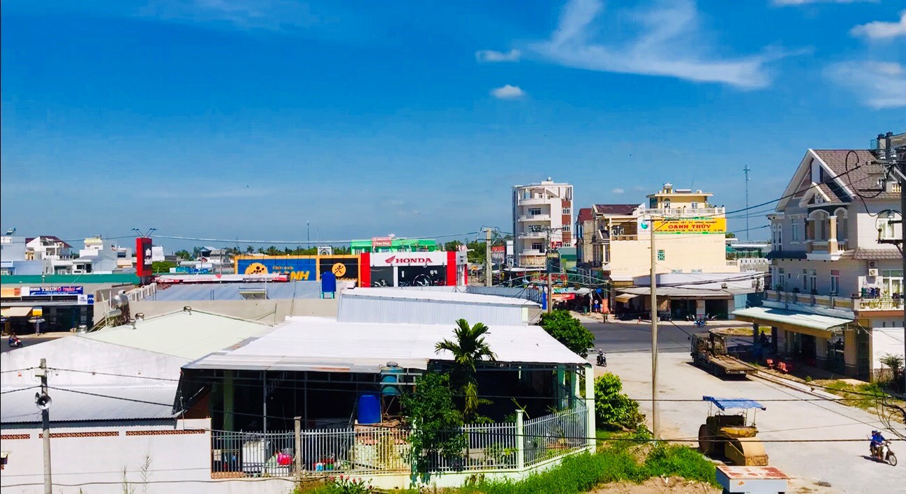
Adjustment of It Ong Commune to Establish It Ong Commune-Level Town, Muong La District, Son La Province (Illustrative Image)
Decree 03/2007/ND-CP stipulates the establishment of It Ong commune-level town under Muong La district on the basis of adjusting 2,193.2 hectares of natural land and 13,895 inhabitants of It Ong commune; 766.8 hectares of natural land and 2,258 inhabitants of Nam Pam commune; 272 hectares of natural land of Ta Bu commune; 253 hectares of natural land of Liep Te commune, Thuan Chau district.
- It Ong commune-level town has 3,485 hectares of natural land and 16,153 inhabitants.
- Administrative boundaries of It Ong commune-level town: East borders Chieng San commune, Nam Pam commune; West borders Pi Toong commune; South borders Ta Bu commune, Muong La district, Liep Te commune, Thuan Chau district; North borders Nam Pam commune.
Concurrently, adjust 591 hectares of natural land and 216 inhabitants of It Ong commune to Nam Pam commune, Muong La district for management and adjust 1,985.8 hectares of natural land and 340 remaining inhabitants of It Ong commune to Pi Toong commune, Muong La district for management.
Therefore, after adjusting the administrative boundaries:
- Ta Bu commune has 6,738 hectares of natural land and 3,590 inhabitants.
- Nam Pam commune has 9,561.2 hectares of natural land and 4,221 inhabitants.
- Pi Toong commune has 5,005.8 hectares of natural land and 5,724 inhabitants. Muong La district has 142,458 hectares of natural land and 83,710 inhabitants, with 16 administrative units including the communes: Chieng Hoa, Ta Bu, Muong Chum, Chieng San, Chieng Lao, Pi Toong, Muong Bu, Nam Gion, Muong Trai, Chieng Muon, Chieng An, Nam Pam, Chieng Cong, Ngoc Chien, Hua Trai, and It Ong commune-level town.
- Liep Te commune has 7,182.8 hectares of natural land and 3,222 inhabitants. Thuan Chau district has 153,337 hectares of natural land and 130,524 inhabitants, with 29 administrative units including the communes: Chieng Ly, Phong Lai, Thom Mon, Bon Phang, Muong Khieng, Ban Lam, Noong Lay, Co Tong, Liep Te, Muoi Noi, Bo Muoi, Pung Tra, Tong Lenh, Chieng Pha, E Tong, Chieng Ngam, Muong e, Co Ma, Pá Long, Tong Co, Muong Bam, Chieng La, Nam Lau, Chieng Pac, Phong Lap, Long He, Phong Lang, Chieng Bom, and Thuan Chau commune-level town.
Details can be viewed at Decree 03/2007/ND-CP effective from February 2, 2007.
Ty Na
- Key word:
- Son La Province
- administrative boundaries
- Duties and powers of the Prime Minister the Government of Vietnam under the latest regulations in 2025
- Guidelines for propaganda on the Hung Kings Commemoration Day in 2025 (March 10 of the lunar calendar) in Vietnam
- System of financial management organization of trade unions in Vietnam according to Decision 1408/QD-TLD
- New regulations on the distribution of financial revenue sources for grassroots trade unions in Vietnam
- Resolution 190: Guidance on citizen reception, complaint and denunciation resolution during organizational restructuring process in Vietnam
- Provisions on naming and use of seals after the organizational restructuring in Vietnam according to Resolution 190
-

- In 2025, aiming to provide public services without ...
- 15:30, 06/02/2025
-
- Regulations on making records confirming the description ...
- 13:49, 10/07/2024
-
- Decree 12/ND-CP: Adjustment of administrative ...
- 13:04, 10/07/2024
-
- Decree 12/ND-CP: Adjustment of administrative ...
- 13:04, 10/07/2024
-
- Decree 12/ND-CP: Adjustment of administrative ...
- 13:04, 10/07/2024
-

- Duties and powers of the Prime Minister the Government ...
- 15:00, 22/02/2025
-

- Regulations on the lawmaking and amendment of ...
- 14:01, 22/02/2025
-

- Guidelines for propaganda on the Hung Kings Commemoration ...
- 10:34, 22/02/2025
-

- System of financial management organization of ...
- 10:00, 22/02/2025
-

- New regulations on the distribution of financial ...
- 09:30, 22/02/2025
 Article table of contents
