Factors of borders, boundaries, and topography in the preparation of provincial and district administrative maps in Vietnam
This is one of the important contents stipulated in Circular 47/2014/TT-BTNMT on Technical Regulations for the Establishment of Administrative Maps at All Levels in Vietnam, promulgated on August 22, 2014.

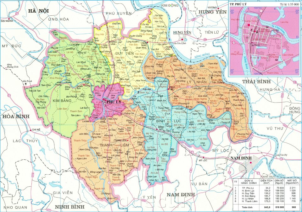
Factors of borders, boundaries, and topography in the preparation of provincial and district administrative maps in Vietnam (Illustrative Image)
The elements regarding boundaries, administrative divisions, and topography in the creation of provincial and district-level administrative maps in Vietnam are stipulated as follows:
- Regarding national boundary elements, administrative boundaries must:
- Fully represent national land boundaries and baseline;- Fully represent defined and undefined provincial-level administrative boundaries, territorial zoning for provincial-level administrative divisions;- Fully represent the centers of provincial-level administrative units;- Annotate the names of provincial-level administrative units.
- Topographic elements must ensure:
- On the national administrative map, contour lines should not be displayed; represent depth contour lines and depth levels as follows: 200 m, 1500 m, 4000 m; annotate depth points with a density of 4 points per 1 dm² on the map;- Represent special topographic areas: swamps, sandbanks larger than 1 cm² on the map; distinguish between dry and wet sandbanks;- Represent the locations of the highest and most characteristic mountains in the country, mountains on the national boundary line, and administrative boundaries; annotate the height of mountain peaks and names;- The national administrative map at a scale of 1:3,500,000 may not display topographic elements as prescribed in Points a, b, c Clause 4 of Article 27 Circular 47/2014/TT-BTNMT.
More details can be found in Circular 47/2014/TT-BTNMT, effective from August 22, 2014.
Thuy Tram
- Key word:
- administrative map
- Vietnam
- General Department of Taxation for large enterprises in Vietnam introduces certain new points of Circular 86/2024 on taxpayer registration
- 04 cases in which the electricity seller is permitted to suspend electricity supply when the organization violates legal regulations in Vietnam
- Organizational structure of the Supreme People's Procuracy in Vietnam from February 7, 2025
- Vietnam: Regulations on the Dossier requesting approval for the policy to buy and sell electricity with foreign countries from February 01, 2025
- Guidelines on the promotion of judges of People's courts in Vietnam according to Resolution 67/2025/UBTVQH15
- Conditions for level 1, level 2, level 3 judges of the People's Court in Vietnam
-

- General Department of Taxation for large enterprises ...
- 15:26, 15/02/2025
-

- Regulations on statistical classification by economic ...
- 15:04, 15/02/2025
-

- 04 cases in which the electricity seller is permitted ...
- 15:00, 15/02/2025
-

- General requirements in electricity trading with ...
- 14:56, 15/02/2025
-

- Organizational structure of the Supreme People ...
- 14:00, 15/02/2025
-

- Notable documents of Vietnam in the previous week ...
- 15:58, 17/02/2025
-

- General Department of Taxation for large enterprises ...
- 15:26, 15/02/2025
-

- Regulations on statistical classification by economic ...
- 15:04, 15/02/2025
-

- 04 cases in which the electricity seller is permitted ...
- 15:00, 15/02/2025
-

- General requirements in electricity trading with ...
- 14:56, 15/02/2025
 Article table of contents
