Adjustment of Administrative Boundary Records for Administrative Units with Amendments
Recently, the Ministry of Natural Resources and Environment issued Circular 48/2014/TT-BTNMT regulating techniques for determining administrative boundaries, placing boundary markers, and establishing administrative boundary records at all levels.

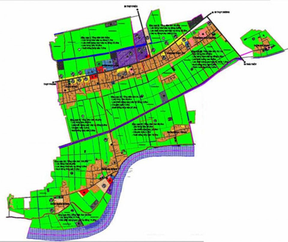
Adjustment of administrative boundary records for administrative units with modifications (Illustrative image)
Circular 48/2014/TT-BTNMT stipulates the cases in which administrative units are allowed to adjust and supplement administrative boundary records as follows:
1. In cases where administrative units have their administrative boundaries adjusted according to the Decision of a competent state agency, adjustment and supplementation of administrative boundary records shall be carried out as follows:
- Maintain the current status of the administrative boundary records currently in use after the Decision on administrative boundary adjustment by a competent state agency, without altering, erasing, or splitting the existing records;- The documents and legal texts in the current records that are still consistent with the new Decision on administrative boundary adjustment by a competent state agency shall be copied and included in the adjusted and supplemented administrative boundary records;- For the administrative boundary line that remains unchanged and does not have additional boundary markers, include a copy of the new Decision on administrative boundary adjustment by a competent state agency in the currently used administrative boundary records;- Newly prepared documents in the administrative boundary records must be legally established according to the provisions of Clause 4, Article 10 of this Circular;- Additional documents and those related to the adjustment of administrative boundary records must be included in the current records.
2. In cases where the administrative boundary line is adjusted, and new markers are added, the following documents must be included in the current records:
- List of newly added documents;- Copy of the document from the competent state agency on the administrative boundary adjustment;- Summary of changes in administrative boundaries;- Confirmation of the new marker position diagram;- Coordinates confirmation of the administrative boundary markers and coordinates of the characteristic points on the newly added administrative boundary line;- Minutes of description of the newly established administrative boundary line;- Minutes of handover of the newly added administrative boundary markers.
3. Legal documents used to adjust and supplement the administrative boundary map include:
- Copy of the decision from a competent authority on the administrative boundary adjustment;- Current administrative boundary map in use;- Base map provided by a competent state agency;- Confirmation of the new administrative boundary marker position diagram; minutes describing the newly adjusted administrative boundary line; confirmation of administrative boundary marker coordinates; coordinates of characteristic points on the administrative boundary line.
Details can be found at Circular 48/2014/TT-BTNMT, effective from November 3, 2014.
Ty Na
- Assessment of technical conditions for the exploration of rare earth mineral mines in Vietnam from January 06, 2025
- Investigation content on rare earth mineral resources in Vietnam from January 6, 2025
- Standards for traffic police conducting road traffic accident investigations in Vietnam from January 1, 2025
- Regulations on the maximum speed of motor vehicles in Vietnam from January 1, 2025
- Reorganization of commune-level administrative units in Vinh Phuc province from January 01, 2025
- Reorganization of administrative units in Tra Vinh province from January 1, 2025
-

- Implementation of policies for the development ...
- 14:44, 28/11/2024
-
- Procedures for settling financial support for ...
- 14:30, 28/11/2024
-

- Guidelines for developing economic-technical norms ...
- 14:30, 28/11/2024
-

- Standards for expenses in execution of tasks of ...
- 14:12, 28/11/2024
-

- Classification of labor according to working conditions ...
- 14:02, 28/11/2024
 Article table of contents
