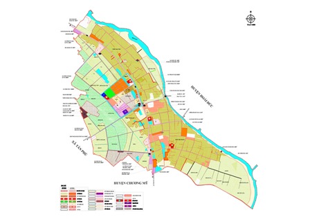
What are regulations on editing number-based commune-level administrative boundary maps in Vietnam?
Recently, the Ministry of Natural Resources and Environment issued Circular 48/2014/TT-BTNMT regulating techniques for determining administrative boundaries, placing boundary markers, and establishing administrative boundary dossiers at all levels.

What are regulations on editing number-based commune-level administrative boundary maps in Vietnam? (Internet image)
Circular 48/2014/TT-BTNMT stipulates the editing of the number-based commune-level administrative boundary maps in Vietnam as follows:
- The editing of the number-based commune-level administrative boundary maps must comply with the current regulations on editing digital topographic maps of the same scale, with the addition of administrative boundary elements to the group of border and boundary objects. These administrative boundary elements must be represented digitally as regulated in this Circular;
- Administrative boundary elements are organized and separated into distinct layers and edited according to commune-level administrative units. Other geographical elements remain as per the base map fragments;
- In case of conflicts regarding the position of administrative boundary markers compared to nearby geographical elements, the geographical elements on the map must be re-edited accordingly;
- In areas with a dense density of geographical features, when administrative boundary markers or distinctive points coincide with geographical elements on the map, priority is given to representing boundary elements, geographical elements described in the administrative boundary, and nearby geographical elements serving as orientation;
- If the administrative boundary line coincides with a linear object on the map, based on the description, standardize the linear object and related objects according to the correct geometric correlation while retaining boundary markers and distinctive points. After standardization, the administrative boundary line object must be copied to coincide exactly with the linear object;
- Each administrative boundary line object must be a continuous line (Linestring) or comprise multiple connected segments with a tolerance of 0.001m. Where administrative boundaries at different levels coincide, they must be represented fully by copying to align exactly;
- When editing the digital administrative boundary map, it is permissible to use automatic cleaning tools with a tolerance of 0.001m for administrative boundary markers, distinctive points on the boundary lines, and intersection points between boundary lines; 0.1m for other objects.
Detail information is available at Circular 48/2014/TT-BTNMT which comes into effect in Vietnam from November 03, 2014.
Ty Na
- Key word:
- administrative boundary maps
- Vietnam
- General Department of Taxation for large enterprises in Vietnam introduces certain new points of Circular 86/2024 on taxpayer registration
- 04 cases in which the electricity seller is permitted to suspend electricity supply when the organization violates legal regulations in Vietnam
- Organizational structure of the Supreme People's Procuracy in Vietnam from February 7, 2025
- Vietnam: Regulations on the Dossier requesting approval for the policy to buy and sell electricity with foreign countries from February 01, 2025
- Guidelines on the promotion of judges of People's courts in Vietnam according to Resolution 67/2025/UBTVQH15
- Conditions for level 1, level 2, level 3 judges of the People's Court in Vietnam
-

- General Department of Taxation for large enterprises ...
- 15:26, 15/02/2025
-

- Regulations on statistical classification by economic ...
- 15:04, 15/02/2025
-

- 04 cases in which the electricity seller is permitted ...
- 15:00, 15/02/2025
-

- General requirements in electricity trading with ...
- 14:56, 15/02/2025
-

- Organizational structure of the Supreme People ...
- 14:00, 15/02/2025
-

- Notable documents of Vietnam in the previous week ...
- 15:58, 17/02/2025
-

- General Department of Taxation for large enterprises ...
- 15:26, 15/02/2025
-

- Regulations on statistical classification by economic ...
- 15:04, 15/02/2025
-

- 04 cases in which the electricity seller is permitted ...
- 15:00, 15/02/2025
-

- General requirements in electricity trading with ...
- 14:56, 15/02/2025
 Article table of contents
