Circular 48: Regulations on the contents of administrative boundary records at all levels
Recently, the Ministry of Natural Resources and Environment issued Circular 48/2014/TT-BTNMT regulating techniques for determining administrative boundaries, placing boundary markers, and establishing administrative boundary records at various levels.

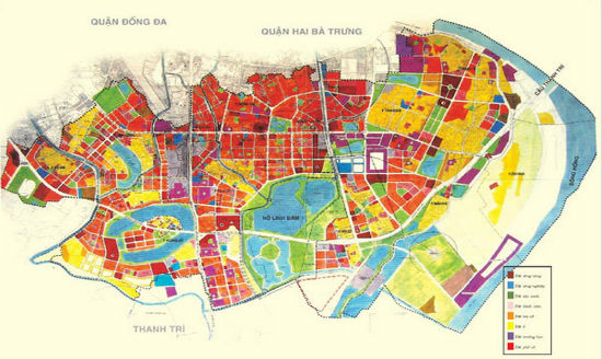
Circular 48: Regulations on the contents of administrative boundary dossiers at various levels (Illustrative image)
Circular 48/2014/TT-BTNMT stipulates the preparation of contents for administrative boundary dossiers at various levels including commune level, district level, and provincial level as follows:
Contents of the commune-level administrative boundary dossier include the following documents:Legal documents on the establishment of the commune and adjustment of the commune's administrative boundaries;Administrative boundary map of the commune level;Records confirming the sketches of the positions of the commune, district, and provincial boundary markers on the administrative boundary of the commune;Records confirming the coordinates of the commune-level administrative boundary markers;Table of coordinates of characteristic points on the administrative boundary of the commune level;General description of the commune-level administrative boundary;Records confirming the description of the commune-level administrative boundary;Statistical reports on local names (population, hydrography, orography);Minutes of handover of administrative boundary markers at various levels.
Contents of the district-level administrative boundary dossier include the following documents:Legal documents on the establishment of the district and adjustment of the district's administrative boundaries;Administrative boundary map of the district level;Records confirming the sketches of the positions of the district and provincial boundary markers on the administrative boundary of the district;Table of coordinates of the district-level administrative boundary markers and characteristic points on the district-level administrative boundary;General description of the district-level administrative boundary;Records confirming the description of the district-level administrative boundary.
Contents of the provincial-level administrative boundary dossier include the following documents:Legal documents on the establishment of the province and adjustment of the province's administrative boundaries;Administrative boundary map of the provincial level;Records confirming the sketches of the positions of the provincial-level boundary markers on the administrative boundary of the province;Table of coordinates of the provincial-level administrative boundary markers and characteristic points on the provincial-level administrative boundary;General description of the provincial-level administrative boundary;Records confirming the description of the provincial-level administrative boundary.
For details, please refer to Circular 48/2014/TT-BTNMT which takes effect from November 3, 2014.
Ty Na
- Assessment of technical conditions for the exploration of rare earth mineral mines in Vietnam from January 06, 2025
- Investigation content on rare earth mineral resources in Vietnam from January 6, 2025
- Standards for traffic police conducting road traffic accident investigations in Vietnam from January 1, 2025
- Regulations on the maximum speed of motor vehicles in Vietnam from January 1, 2025
- Reorganization of commune-level administrative units in Vinh Phuc province from January 01, 2025
- Reorganization of administrative units in Tra Vinh province from January 1, 2025
-

- Implementation of policies for the development ...
- 14:44, 28/11/2024
-
- Procedures for settling financial support for ...
- 14:30, 28/11/2024
-

- Guidelines for developing economic-technical norms ...
- 14:30, 28/11/2024
-

- Standards for expenses in execution of tasks of ...
- 14:12, 28/11/2024
-

- Classification of labor according to working conditions ...
- 14:02, 28/11/2024
 Article table of contents
