What are regulations on the national spatial data infrastructure database system in Vietnam?
I am researching the regulations on the e-Government architecture of the Ministry of Natural Resources and Environment. What are regulations on the national spatial data infrastructure database system in Vietnam? Thank you!
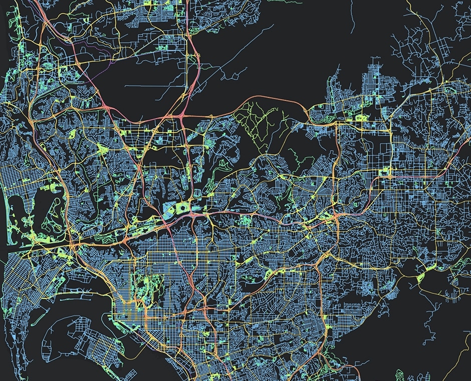
What are regulations on the national spatial data infrastructure database system in Vietnam? - image from internet
Based on Subsection 4, Section IV, Appendix 02 of the Decision 3196/QD-BTNMT in 2019, the national spatial data infrastructure system in the e-Government architecture of the Ministry of Natural Resources and Environment is as follows:
- Objectives:
The National Spatial Data Infrastructure (NSDI) must ensure standardized and comprehensive spatial data collected from the Ministry, departments, localities, organizations, and individuals. It should be regularly updated to meet the requirements of state management, socio-economic development, national defense and security, disaster prevention, rescue operations, environmental incident response, climate change adaptation, improving public awareness, facilitating the provision of public services, and ensuring connectivity with the spatial data infrastructure of other countries in the region and internationally.
- Scope:
The national spatial data infrastructure is implemented nationwide, covering both the mainland and the sea of Vietnam.
- Information and data content:
The National Spatial Data Infrastructure database includes framework data and specialized data:
+ Framework data serves as the foundation for building the national spatial data, including:
++ Data on the national geodetic control points and national survey networks.
++ National geographic base data and national terrain maps.
++ Aerial imagery data and remote sensing data.
++ National border standard map data.
++ Administrative boundary map data.
++ Place name data.
+ Specialized data is commonly used data, including:
++ Land administration data.
++ Current land use map data.
++ Water resource survey and assessment map data.
++ Geological and mineral map data.
++ Soil map data.
++ Current forest status map data.
++ Underground infrastructure map data.
++ Civil aviation map data.
++ Nautical charts for coastal waters, ports, shipping routes, and marine areas.
++ Maps for disaster prevention, rescue operations, environmental incident response, and climate change adaptation.
++ Transportation map data.
++ National-level planning map data, regional planning, provincial planning, special administrative-economic unit planning, urban planning, and rural planning.
++ Other specialized map data groups specified by the Government to ensure the synchronization of national spatial data according to each stage.
+ Main functions and tasks:
++ Supporting the updating of the national spatial data infrastructure database.
++ Supporting the management of the national spatial data infrastructure database.
++ Supporting the exploitation of the national spatial data infrastructure database.
++ Supporting the operation of the national spatial data infrastructure database.
++ Providing information on the national spatial data infrastructure.
++ Sharing, converting, analyzing, integrating, querying, and downloading data are performed through the Vietnam Spatial Data Gateway.
- Connections with other ICT/Databases:
+ Information groups that need to connect and share with other ICT/Databases:
++ User database: Retrieve user information from the shared user database of the Ministry of Natural Resources and Environment for authentication and user authorization in the system.
++ Information groups that need to share with other ICT/Databases:
++ Framework data group: Provide and share information with other ICT/Databases upon request.
++ Specialized data group: Provide and share information with other ICT/Databases upon request.
Information group on bathymetric maps at scales of 1:10,000, 1:50,000, 1:100,000, 1:250,000, 1:500,000, 1:1,000,000: Provide and share information with other ICT/Databases upon request.
- Infrastructure, technology, and technical aspects:
+ IT infrastructure: Utilize the centralized infrastructure of the Ministry.
+ Main technology: Relational database, GIS technology.
Best regards!