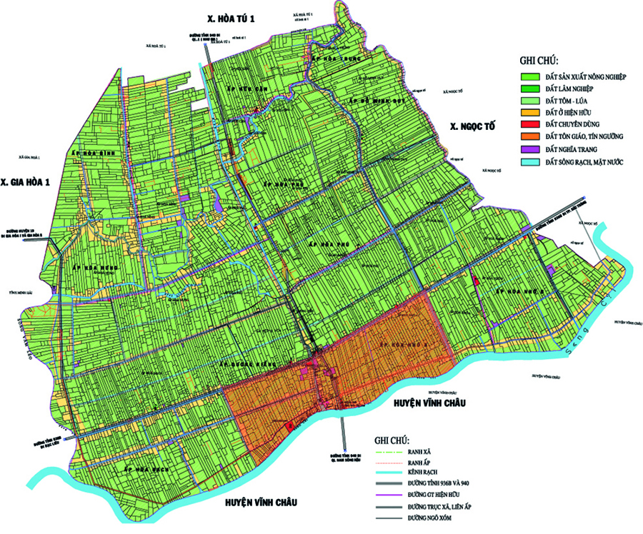
Regulations on the specification of administrative boundary markers according to Circular 48/2014/TT-BTNMT
Recently, the Ministry of Natural Resources and Environment issued Circular 48/2014/TT-BTNMT regulating techniques for determining administrative boundaries, placing boundary markers, and establishing administrative boundary records at various levels.

Regulations on the standard of administrative boundary markers according to Circular 48/2014/TT-BTNMT (Illustrative image)
Circular 48/2014/TT-BTNMT regulates the standard of administrative boundary markers. The ABMs are divided into 3 levels: commune, district, and province and are used suitably for each corresponding administrative level. Depending on specific topographic conditions, one of the following three types of markers is designed and implemented:
Buried marker: used for all regions, the marker is cast from iron-reinforced concrete, with a grade of M25 (39 TCVN 6025 1995) or higher. The marker has an iron core F8, 15 cm long with a cross mark at the center of the marker. The marker can be pre-cast and then buried or directly poured on site. The standard for buried markers is specified in Appendix 01 issued with this Circular.
Attached marker: used when the chosen location for placing a marker is on a rock base. The marker has a surface size of 30cm x 30cm, with a height of at least 20cm above the rock surface and is smoothly plastered on all sides. The marker is cast from iron-reinforced concrete, with a grade of M25 or higher. The marker has an iron core F8, 15 cm long with a cross mark at the center of the marker.
Buried marker level with the pavement, road: Used when the chosen location for placing a marker is on the pavement or road. The marker has a surface size of 40cm x 40cm, with a height of 40cm. The marker is cast from iron-reinforced concrete, with a grade of M25 or higher. The marker has an iron core F8, 15 cm long with a cross mark at the center, level with the marker's surface.
Notes on the marker surface
For buried markers, notes are inscribed in 3 rows written in capital letters:
- Top row: “DIA GIOI TINH” (HUYEN, XA) or may abbreviate “DI.A.”- Middle row: Name of the administrative unit.- Bottom row: The first number is the number of administrative units sharing the marker, followed by the letter 'T', 'H' or 'X' corresponding to the provincial, district, or commune level marker, then a dot and the order number of the marker.- The inscriptions on the marker surface must be deeply engraved about 0.5 cm. The letters/numbers have a height of 3cm, width of 2cm; the stroke width is about 0.5cm. The top row is about 5cm - 6cm from the upper edge, the spacing between rows is about 2.5cm - 3.0cm.
Markers attached on rock bases and markers buried level with the pavement, roads: On the marker surface, 5cm from the upper edge is the inscription “MOC DIA GIOI” with a height of 6cm and width of 3cm. In the center is a circle, with the top having the marker's serial number, the bottom having the numeric distance to the intersection point of the administrative boundary lines at all levels. Outside the circle is the range of units and an arrow pointing to the intersection point of the administrative boundary lines. The dimensions of the letters/numbers are 4cm high and 2cm wide. All inscriptions, letters, and numbers are deeply engraved, with a stroke width of about 0.5cm.
Details can be found at Circular 48/2014/TT-BTNMT effective from November 03, 2014.
Ty Na
- Assessment of technical conditions for the exploration of rare earth mineral mines in Vietnam from January 06, 2025
- Investigation content on rare earth mineral resources in Vietnam from January 6, 2025
- Standards for traffic police conducting road traffic accident investigations in Vietnam from January 1, 2025
- Regulations on the maximum speed of motor vehicles in Vietnam from January 1, 2025
- Reorganization of commune-level administrative units in Vinh Phuc province from January 01, 2025
- Reorganization of administrative units in Tra Vinh province from January 1, 2025
-

- Promulgation of new Decree guiding the Law on ...
- 10:34, 28/11/2024
-

- Assessment of technical conditions for the exploration ...
- 10:00, 28/11/2024
-

- Investigation content on rare earth mineral resources ...
- 09:30, 28/11/2024
-

- Standards for traffic police conducting road traffic ...
- 09:00, 28/11/2024
-

- Regulations on the maximum speed of motor vehicles ...
- 08:30, 28/11/2024
 Article table of contents
