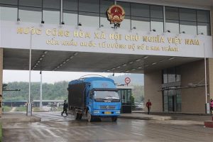
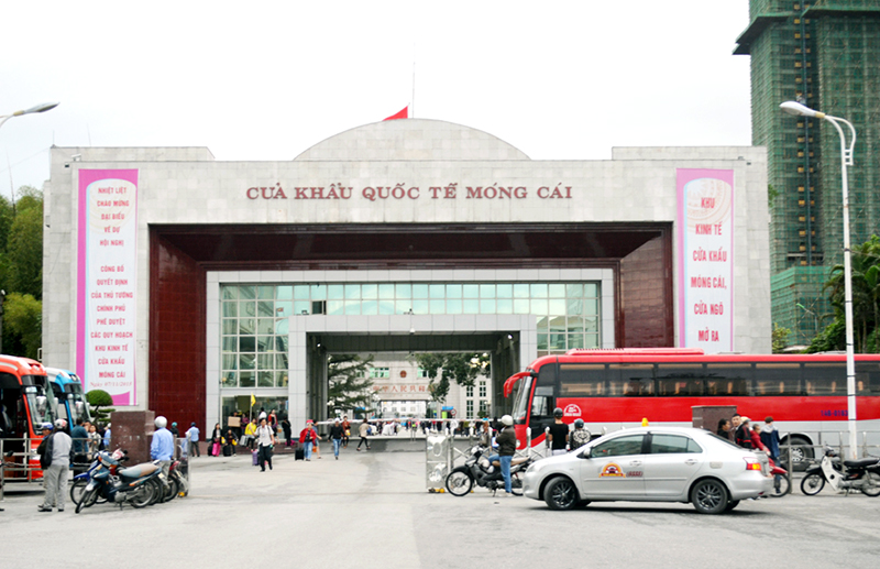
Customs areas designated at land and inland waterway border checkpoints in bordering areas in Quang Ninh Province
Decree No. 12/2018/NĐ-CP of Vietnam’s Government amending Decree No. 01/2015/NĐ-CP was issued on January 23, 2018. Issued together with Decree No. 12/2018/NĐ-CP is the Appendix specifying customs areas designated at land and inland waterway border checkpoints in bordering areas.
 Article table of contents
Specifically, according to this Appendix, customs areas designated at land and inland waterway border checkpoints in bordering areas in Quang Ninh Province are as follows:
View customs areas designated in bordering areas in Lang Son, Cao Bang, Ha Giang, Lao Cai, Lai Chau, Son La, Dien Bien, Thanh Hoa, Nghe An, etc. in the Appendix issued together with Decree No. 12/2018/NĐ-CP of Vietnam’s Government, effective from March 10, 2018.
- Number of deputy directors of departments in Vietnam in accordance with Decree 45/2025/ND-CP
- Cases ineligible for pardon in Vietnam in 2025
- Decree 50/2025 amending Decree 151/2017 on the management of public assets in Vietnam
- Circular 07/2025 amending Circular 02/2022 on the Law on Environmental Protection in Vietnam
- Adjustment to the organizational structure of the Ministry of Health of Vietnam: Certain agencies are no longer listed in the organizational structure
- Vietnam aims to welcome 22-23 million international tourists in Vietnam in 2025

-

- Vietnam: Collaboration in preventing, investigating ...
- 15:00, 20/08/2018
-
- Vietnam: Specific customs areas designated at ...
- 14:51, 04/04/2018
-
- Vietnam: Application of new customs areas designated ...
- 10:48, 31/01/2018
-

- Notable new policies of Vietnam effective as of ...
- 16:26, 11/04/2025
-
.Medium.png)
- Notable documents of Vietnam in the previous week ...
- 16:21, 11/04/2025
-
.Medium.png)
- Notable documents of Vietnam in the previous week ...
- 16:11, 02/04/2025
-
.Medium.png)
- Notable new policies of Vietnam to be effective ...
- 16:04, 02/04/2025
-
.Medium.png)
- Notable new policies of Vietnam effective from ...
- 14:51, 21/03/2025
