Requirements for the Presentation Level of Construction Planning Projects as Prescribed
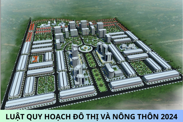
Request regarding the level of detail for urban planning projects is specified in Section 1.5.9 of QCVN 01:2021/BXD National Technical Regulation on Urban Planning issued together with Circular 01/2021/TT-BXD. To be specific:
Technical specifications and management requirements for space, land, and infrastructure systems must be determined and represented corresponding to each map scale as follows:
- Map scale 1/25,000 must show inter-zone roads or equivalent and land plots limited by inter-zone roads or equivalent;
- Map scale 1/10,000 must show main area roads or equivalent and land plots limited by the main area roads or equivalent;
- Map scale 1/5,000 must show area roads or equivalent and land plots limited by area roads or equivalent;
- Map scale 1/2,000 must show sub-zone roads and land plots limited by sub-zone roads;
- Map scale 1/500 must show residential group roads, bicycle paths, pedestrian paths, and land plots
Sincerely.


