What are regulations on land symbols on cadastral maps in Vietnam?
What are regulations on land symbols on cadastral maps in Vietnam? – Mr. Truong (Ha Noi)
What are the regulations for representing land symbols on cadastral maps in Vietnam?
According to Appendix 01 issued with Circular 25/2014/TT-BTNMT, the regulations for representing land symbols on cadastral maps in Vietnam are as follows:
|
No. |
Land types |
Symbol |
|
I |
GROUP OF AGRICULTURAL LAND |
|
|
1 |
Rice-farming land |
LUC |
|
2 |
One-crop-a-year rice-farming land |
LUK |
|
3 |
Upland rice land |
LUN |
|
4 |
Land for cultivation of annual crops |
BHK |
|
5 |
Upland for cultivation of annual crops |
NHK |
|
6 |
Land for growing perennial trees |
CLN |
|
7 |
Production forest land |
RSX |
|
8 |
Protective forest land |
RPH |
|
9 |
Special-use forest land |
RDD |
|
10 |
Aquaculture land |
NTS |
|
11 |
Salt-making land |
LMU |
|
12 |
Other agricultural land |
NKH |
|
II |
GROUP OF NON-AGRICULTURAL LAND |
|
|
1 |
Rural residential land |
ONT |
|
2 |
Urban residential land |
ODT |
|
3 |
Land for construction of offices |
TSC |
|
4 |
Land for construction of offices of non-business facilities |
DTS |
|
5 |
Land for construction of cultural facilities |
DVH |
|
6 |
Land for construction of medical facilities |
DYT |
|
7 |
Land for construction of educational and training facilities |
DGD |
|
8 |
Land for construction of sport and physical facilities |
DTT |
|
9 |
Land for construction of science and technology facilities |
DKH |
|
10 |
Land for construction of social service facilities |
DXH |
|
11 |
Land for construction of diplomatic facilities |
DNG |
|
12 |
Land for construction of other non-business facilities |
DSK |
|
13 |
Land for national defense |
CQP |
|
14 |
Land for security |
CAN |
|
15 |
Industrial zone land |
SKK |
|
16 |
Processing and exporting zone land |
SKT |
|
17 |
Industrial complex land |
SKN |
|
18 |
Land for construction of non-agricultural production facilities |
SKC |
|
19 |
Commercial and service land |
TMD |
|
20 |
Land for mineral operation |
SKS |
|
21 |
Land for production of building materials and pottery-making |
SKX |
|
22 |
Land for transportation |
DGT |
|
23. |
Land for irrigation |
DTL |
|
24 |
Land for energy construction |
DNL |
|
25 |
Land for post and telecommunication construction |
DBV |
|
26 |
Land for community operation |
DSH |
|
27 |
Land for amusement and public recreation parks |
DKV |
|
28 |
Market land |
DCH |
|
29 |
Land with historical and cultural relics |
DDT |
|
30 |
Land with scenic places |
DDL |
|
31 |
Land for disposal sites, waste treatment |
DRA |
|
32 |
Land for other public construction |
DCK |
|
33 |
Land for religious establishment |
TON |
|
34 |
Land for belief establishment |
TIN |
|
35 |
Land for cemeteries, grave-yards, crematory or land for crematory or land for funeral parlors |
NTD |
|
36 |
River, arroyo, canal, trench, stream |
SON |
|
37 |
Special-use water surface land |
MNC |
|
38 |
Other non-agricultural land |
PNK |
|
III |
Group of unused land |
|
|
1 |
Unused Land |
BCS |
|
2 |
Unused hills |
DCS |
|
3 |
Rock without forest |
NCS |
What is the process for requesting an extract of a cadastral map in Vietnam?
According to Article 11 of Circular 34/2014/TT-BTNMT, the regulations regarding use of data through enquiry forms are as follows:
Use of data through enquiry forms
The entity wishing to use land data (applicant) shall submit a completed enquiry form provided in specimen No. 01/PYC attached hereto to the authority providing land data (receiving authority).
From the day on which the valid enquiry form is received, the receiving authority shall provide the applicant with land data or a written explanation if the enquiry form is rejected.
Use of data through the enquiry form shall comply with regulations of law.
Furthermore, according to Article 12 of Circular 34/2014/TT-BTNMT, the procedure for requesting an extract of a cadastral map is carried out as follows:
Step 1: Prepare the dossier
The person in need submits a request form to the competent state authority containing the required data, which is the extract of the cadastral map.
Step 2: The enquiry form may be submitted to the receiving authority:
- In person;
- By post or fax; or
- By email or through the land website.
The receiving authority shall receive and process the enquiry form and notify the applicant of fulfillment of financial obligations (if any). If the enquiry form is rejected, the receiving authority shall provide the applicant with a written explanation.
After fulfilling financial obligations, the applicant shall be provided with land data by the receiving authority.
Step 3: Return the result
- Land data shall be provided within a day if the enquiry form is received before 3 p.m. or on the following day if the enquiry form is received after 3 p.m.;
- If the request for providing land data is made in the form of collecting information, the time limit therefore shall be determined according to an agreement.
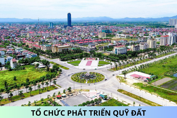
What are regulations on land symbols on cadastral maps in Vietnam? - image from the internet
What are the requirements for an extract of a cadastral map in Vietnam?
Currently, there are no specific regulations regarding the requirements for an extract of a cadastral map.
However, according to Appendix 13 of the sample extract of a cadastral map issued with Circular 25/2014/TT-BTNMT, the extract of a cadastral map should include the following information:
- Land parcel number
- Map number sheet
- Area
- Land use purpose
- Name of land user
- Changes to the parcel compared to the legal documents on land use rights
- Map drawing, including:
+ Parcel diagram
+ Length of parcel sides
Best regards!


