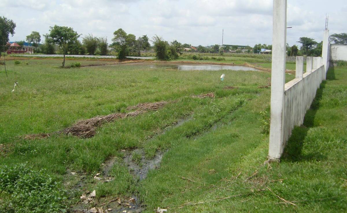
Instruction on determining the boundary of the land parcel in Vietnam
How to determine the boundary of the land parcel in Vietnam? - Hoai Khanh (An Giang, Vietnam)

Instruction on determining the boundary of the land parcel in Vietnam (Internet image)
To this problem, LawNet would like to answer as follows:
1. What is the boundary of the land parcel?
According to the provisions of Item d, Point 2.3, Clause 2, Article 8 of Circular 25/2014/TT-BTNMT, the boundary of a land parcel is a curving line formed by the adjacent plot edges, enclosing the area belonging to that land parcel. .
2. Instruction on determining the boundary of the land parcel in Vietnam
The way to determine the boundary of a land parcel is guided in accordance with the provisions of Clause 1, Article 11 of Circular 25/2014/TT-BTNMT as follows:
- Before taking detailed measurements, the surveyor must coordinate with the surveyor (who is a commune-level cadastral official or an officer of a hamlet, hamlet, residential group, etc.) for assistance and guidance in determining the current status and boundaries of land use), together with relevant land users and managers, to determine the boundaries and landmarks of the land parcel in the field,
Mark the tops of the land parcel with iron nails, paint lines, concrete piles, and wooden stakes, and make a description of the boundaries and landmarks of the land parcel as a basis for measuring the boundaries of the land parcel;
At the same time, request that the land user present the documents related to the land parcel (copies can be provided without notarization or authentication).
- Boundaries and boundaries of land parcels are determined according to the current state of use, managed and adjusted according to the results of the issuance of certificates, effective court judgments, and results of dispute settlement by competent authorities, and administrative decisions of competent authorities related to land parcel boundaries.
In case there is a dispute over the boundary of the land parcel, the measurement unit shall report in writing to the commune-level People's Committee of the locality where the land parcel is located for settlement.
In case the dispute has not been resolved within the time of measurement in the locality, but the actual boundary in use or management can be determined, the measurement shall be carried out according to the actual boundary in use and management; if it is not possible to determine the actual boundary in use, the administrator may measure and draw the boundary of the disputed land parcels;
The surveying unit is responsible for making a description of the current status of the disputed land in 02 copies, one copy is kept for the measurement file, and the other is sent to the commune-level People's Committee to take the next steps to settle the dispute by authority.
3. Cases of determining land parcel boundaries in Vietnam
Cases of determining the boundaries of land parcels in Vietnam according to the provisions of Item dd, e, g, Point 2.3, Clause 2, Article 8 of Circular 25/2014/TT-BTNMT are as follows:
- In cases where the land has gardens and ponds attached to houses, the boundaries and boundaries of the land parcels are determined as the contours of the entire land area with gardens and ponds attached to such houses;
- For terraced fields, the boundary of the land parcel is determined as the outermost contour, including adjacent terraces with the same land use purpose, within the scope of use of a single land user or a group of land users (regardless of the shorelines dividing the terraced interior of the land in the field);
- In cases where the boundary of the agricultural land or unused land is the parcel bank, the shared water ditch is not part of the land parcel with a width of less than 0.5m, the boundary of the land parcel is determined according to the center line of the plot's shoreline, the waterline.
In cases where the parcel's shoreline or ditch is wider than or equal to 0.5 m, the boundary of the land parcel is determined according to the edge of the plot's shoreline or waterline.
Vo Van Hieu
- Key word:
- boundary of the land parcel in Vietnam
- Cases of land rent exemption and reduction under the latest regulations in Vietnam
- Economic infrastructure and social infrastructure system in Thu Duc City, Ho Chi Minh City
- Regulations on ordination with foreign elements in religious organizations in Vietnam
- Increase land compensation prices in Vietnam from January 1, 2026
- Determination of land compensation levels for damage during land requisition process in Vietnam
- Who is permitted to purchase social housing according to latest regulations in Vietnam?
-

- Notable new policies of Vietnam effective as of ...
- 16:26, 11/04/2025
-
.Medium.png)
- Notable documents of Vietnam in the previous week ...
- 16:21, 11/04/2025
-
.Medium.png)
- Notable documents of Vietnam in the previous week ...
- 16:11, 02/04/2025
-
.Medium.png)
- Notable new policies of Vietnam to be effective ...
- 16:04, 02/04/2025
-
.Medium.png)
- Notable new policies of Vietnam effective from ...
- 14:51, 21/03/2025
 Article table of contents
