The topographic base used for geological mapping at a scale of 1:50,000
This is a notable content in the National Technical Regulation on the geological mapping of mineral resources at a scale of 1:50,000 for terrestrial parts, issued together with Circular 23/2012/TT-BTNMT of the Ministry of Natural Resources and Environment.
 Article table of contents
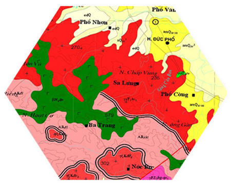
The background terrain is used in creating geological maps at a scale of 1:50,000 (Illustration)
To be specific, as stated in Section 1, Part II of the National Technical Regulation on creating geological mineral maps at a scale of 1:50,000 for mainland, issued together with Circular 23/2012/TT-BTNMT, regulations on the background terrain and point determination in creating geological mineral maps at a scale of 1:50,000 on mainland and offshore islands (abbreviated as BDDCKS-50) are as follows:
- The background terrain used in creating BDDCKS-50 is a topographic map using the VN 2000 national reference system at a scale of 1:50,000 or larger.- Natural or artificial geological outcrops, drilling works, excavation works, sampling sites, fossil sites, locations with minerals or mineralization indications must have their coordinates determined using GPS or by describing the terrain features and access routes. The plane positioning error must not exceed 50 meters.- The areas of mineral deposits and detailed investigation areas must determine the coordinates for closed-point locations.
Moreover, depending on the complexity of the geological structure, the area for creating BDDCKS-50 is divided into simple, medium, complex, and very complex regions as specified in Appendix 3 attached to this Regulation.
Additionally, the geological investigation content is specifically regulated as follows:
- The content for creating BDDCKS-50 is performed according to topics including: mapping Quaternary sediments, pre-Quaternary sediments, metamorphic formations, non-layered volcanic formations, intrusive magma, structural tectonics, geomorphology, weathering crust, geological hazards, environmental geology, hydrogeology, engineering geology, and geological heritage.- When creating BDDCKS-50, geological formations must be divided into geological units by material composition, formation age, and formation conditions, determining the volume and showing their distribution, and relationship on the geological map.- The age of geological formations must be determined by geological, paleontological, radioactive isotope, paleomagnetic methods, or compared with similar formations in nearby areas for which definite age data is available.- The boundaries between geological bodies must be directly observed at outcrops or between two natural outcrops, drilling, or excavation works that are no more than 500 meters apart; or defined, interpreted by remote sensing, geophysical data, and other materials.- The boundaries of geological bodies, marker beds, and faults must be traced along strike with traverses no more than 3.0 km apart; no less than 50% of the total length of the boundary.
For more details, refer to Circular 23/2012/TT-BTNMT, effective from March 5, 2013.
Le Vy
- Number of deputy directors of departments in Vietnam in accordance with Decree 45/2025/ND-CP
- Cases ineligible for pardon in Vietnam in 2025
- Decree 50/2025 amending Decree 151/2017 on the management of public assets in Vietnam
- Circular 07/2025 amending Circular 02/2022 on the Law on Environmental Protection in Vietnam
- Adjustment to the organizational structure of the Ministry of Health of Vietnam: Certain agencies are no longer listed in the organizational structure
- Vietnam aims to welcome 22-23 million international tourists in Vietnam in 2025
-

- Notable documents of Vietnam in the previous week ...
- 17:29, 05/03/2025
-

- Number of deputy directors of departments in Vietnam ...
- 15:04, 05/03/2025
-

- Cases ineligible for pardon in Vietnam in 2025
- 14:43, 05/03/2025
-

- Decree 50/2025 amending Decree 151/2017 on the ...
- 12:00, 05/03/2025
-

- Circular 07/2025 amending Circular 02/2022 on ...
- 11:30, 05/03/2025
