Guidance on Integrating Land Registration with Cadastral Mapping Survey
Here is the highlighted content of Circular 30/2013/TT-BTNMT issued by the Minister of Natural Resources and Environment regulating the integration of surveying for the creation or adjustment of cadastral maps, registration, issuance of certificates of land use rights, ownership of housing and other assets attached to the land, construction of cadastral records, and cadastral database.
According to Circular 30/2013/TT-BTNMT, for the communes and districts implementing from the stage of cadastral surveying to the establishment or adjustment of cadastral maps, the tasks of land registration, registration of land-attached assets, and issuance of certificates are integrated during the surveying process as follows:

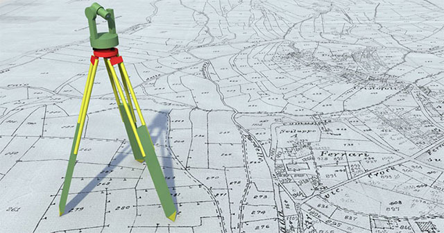
Illustration (Source internet)
- During the preparation phase for implementing cadastral surveying and map establishment or adjustment, the following preparatory tasks for land registration and registration of land-attached assets should be integrated: collecting, inspecting, and evaluating cadastral records; making a list of cases requiring land registration, first-time certificate issuance, certificate renewal, and cases requiring registration of land changes.- During the fieldwork for identifying parcel boundaries and detailed surveying of cadastral maps, the following tasks should be integrated to serve land registration and certificate issuance: collecting information on the current land use purpose and the current land user; the origin of land use; the status of land use disputes; and changes in parcel boundaries and area compared to land use right documents.- During the process of handing over cadastral surveying results to land users, the following tasks should be integrated: issuing forms and guiding the declaration, registration file establishment, first-time certificate issuance, certificate renewal, and land change registration.- During the process of inspecting, verifying, and correcting cadastral maps based on feedback from land users, guide the land users in re-declaring registration according to the corrected and completed cadastral map results.
For further regulations, refer to Circular 30/2013/TT-BTNMT effective from November 29, 2013.
Thu Ba
- Number of deputy directors of departments in Vietnam in accordance with Decree 45/2025/ND-CP
- Cases ineligible for pardon in Vietnam in 2025
- Decree 50/2025 amending Decree 151/2017 on the management of public assets in Vietnam
- Circular 07/2025 amending Circular 02/2022 on the Law on Environmental Protection in Vietnam
- Adjustment to the organizational structure of the Ministry of Health of Vietnam: Certain agencies are no longer listed in the organizational structure
- Vietnam aims to welcome 22-23 million international tourists in Vietnam in 2025
-

- Notable new policies of Vietnam effective as of ...
- 16:26, 11/04/2025
-
.Medium.png)
- Notable documents of Vietnam in the previous week ...
- 16:21, 11/04/2025
-
.Medium.png)
- Notable documents of Vietnam in the previous week ...
- 16:11, 02/04/2025
-
.Medium.png)
- Notable new policies of Vietnam to be effective ...
- 16:04, 02/04/2025
-
.Medium.png)
- Notable new policies of Vietnam effective from ...
- 14:51, 21/03/2025
 Article table of contents
