What are types of national geographical space data in Vietnam?
What are types of national geographical space data in Vietnam?
Hello Lawnet. My name is Thanh Phong. I have a question. According to the Law on Topographic and Cartographic in 2018, what are types of national geographical space data in Vietnam? Thank you!

What are types of national geographical space data in Vietnam? - image from internet
Pursuant to Article 45 of the Law on Topographic and Cartographic in 2018:
- National geographical space data includes frame data and specialized data.
- Frame data means data used as foundation for establishing national geographical space data. Frame data includes:
+ Data on system of national topographic points and national topographic nets;
+ National geographical background data and national topographic map data;
+ Aerial photo data and remote sensing photo data;
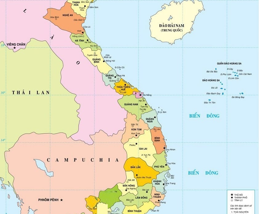
+ Data on standard maps of national boundaries;
+ Data on maps of administrative boundaries;
+ Data on place names;
+ Data prescribed in clause 3 Article 45 of the Law on Topographic and Cartographic in 2018 by the Government.
- Specialized data means data that is commonly used. Specialized data includes the following fundamental groups:
+ Cadastral data;
+ Existing land use map data;
+ Water resource investigation and assessment map data;
+ Geologic map data;
+ Soil map data;
+ Interactive forest map data;
+ Underground work map data;
+ Civil aviation map data;
+ Data on nautical charts of port waters, sea lanes, navigable channels and sea areas;
+ Data on maps for preventing and fighting against natural disasters, rescuing and dealing with environmental as well as climate change;
+ Traffic map data;
+ Data on maps of national, regional and provincial planning, planning for specially-graded economic-administrative units, urban and rural planning;
+ Groups of other specialized map data regulated by the Government for ensuring the consistency in national geographical space data and meeting state management requirement in each period.
- Frame data and specialized data are described in the form of metadata. Metadata includes the following groups of information:
+ Scope, time, organization and individual establishing, updating and storing data;
+ Conformity with applicable technical standards and regulations;
+ Data quality and validity;
+ Methods for accessing, exchanging and using data and services concerning geographical space data
Above are types of national geographical space data in Vietnam. Please refer to the Law on Topographic and Cartographic in 2018 for more details.
Best regards!


