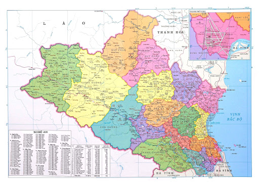
What is the accuracy of administrative maps of all levels in Vietnam?
Recently, the Ministry of Natural Resources and Environment of Vietnam issued Circular 47/2014/TT-BTNMT on technical regulations on administrative maps of all levels, including the regulations on the accuracy of administrative maps of all levels.

What is the accuracy of administrative maps of all levels in Vietnam? (Illustrative photo)
According to the provisions of Article 6 Circular 47/2014/TT-BTNMT, the accuracy of administrative maps of all levels in Vietnam is specified as follows:
- Deviation of edge length ≤ 0,2 mm; diagonals ≤ 0,3 mm; distance between coordinate and corner of the map ≤ 0,2 mm relative to the theoretical value.
- Deviation of real life locations
+ Deviation of locations of government coordinates ≤ 0,3 mm depending on scale;
+ Deviation of geographical features on the map relative to government coordinates: For plateau: ≤ 1,0 mm; for mountainous regions and highlands: ≤ 1,5 mm.
- Where map symbols are positioned close together, for presentation purposes, it is permissible to move symbols indicating features of a lower accuracy so that spacing between symbols ≤ 0,3 mm.
- Deviation in elevation due to displacement of contour lines during generation ≤ 1/2 contour interval. In case of mountainous regions where traverse is difficult, deviation is 1 contour interval.
- Elevation and depth reading is rounded to the nearest meter.
The mathematical basis of administrative maps of all levels in Vietnam is specified as follows:
- Nationwide administrative maps use conical projection grid with the following parameters: 2 standard parallels are 11o North latitude, 21o North latitude; prime meridian of 108o East longitude; base latitude of 4o North latitude.
- Provincial and district administrative maps use the VN-2000 Frame of reference and National coordinate system: Global Ellipsoid WGS-84; semi-major axis of 6378137,0m; flattening of 1:298,257223563; transverse cylindrical grid of the same angle as 6-degree-wide wedge with scale factor k0 = 0,9996; prime meridian of each province and central-affiliated city is specified under Appendix 4 attached hereto; and Vietnam national elevation system.
- Mathematical bases under Clause 1 and Clause 2 of this Article apply to the corresponding types of administrative maps in administrative atlases.
More details can be found in Circular 47/2014/TT-BTNMT effective from August 22, 2014.
Thuy Tram
- Number of deputy directors of departments in Vietnam in accordance with Decree 45/2025/ND-CP
- Cases ineligible for pardon in Vietnam in 2025
- Decree 50/2025 amending Decree 151/2017 on the management of public assets in Vietnam
- Circular 07/2025 amending Circular 02/2022 on the Law on Environmental Protection in Vietnam
- Adjustment to the organizational structure of the Ministry of Health of Vietnam: Certain agencies are no longer listed in the organizational structure
- Vietnam aims to welcome 22-23 million international tourists in Vietnam in 2025
-

- Number of deputy directors of departments in Vietnam ...
- 15:04, 05/03/2025
-

- Cases ineligible for pardon in Vietnam in 2025
- 14:43, 05/03/2025
-

- Decree 50/2025 amending Decree 151/2017 on the ...
- 12:00, 05/03/2025
-

- Circular 07/2025 amending Circular 02/2022 on ...
- 11:30, 05/03/2025
-

- Adjustment to the organizational structure of ...
- 10:34, 05/03/2025
-

- Notable documents of Vietnam in the previous week ...
- 17:29, 05/03/2025
-

- Number of deputy directors of departments in Vietnam ...
- 15:04, 05/03/2025
-

- Cases ineligible for pardon in Vietnam in 2025
- 14:43, 05/03/2025
-

- Decree 50/2025 amending Decree 151/2017 on the ...
- 12:00, 05/03/2025
-

- Circular 07/2025 amending Circular 02/2022 on ...
- 11:30, 05/03/2025
 Article table of contents
