Instruction for Surveying and Mapping Quaternary and Pre-Quaternary Sedimentary Formations in Accordance with National Technical Regulation Standards
This is noteworthy content in the National Technical Regulation on geological and mineral mapping at a 1:50,000 scale for the mainland, issued together with Circular 23/2012/TT-BTNMT of the Ministry of Natural Resources and Environment, issued on December 28, 2012.

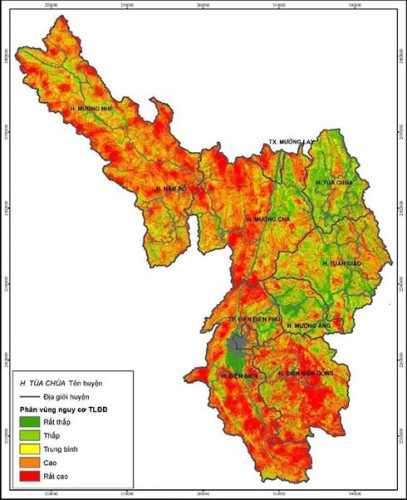
CD measurement drawing of Quaternary and pre-Quaternary sedimentary formations according to QCQG (Illustration)
To be specific, at Section 5 Part II of the National Technical Standards on Geological Mapping of Mineral Resources at a scale of 1: 50,000 for the mainland issued together with Circular 23/2012/TT-BTNMT, the specification for measuring and drawing Quaternary sedimentary formations is as follows:
- Description and division of Quaternary sediments into sediment groups and individual sediments or formations based on composition, grain size, layering characteristics, age, origin, and depositional environments. The detailed level of their division depends on the specific geological mapping tasks and the prospects of discovering related mineral resources.- Determining the distribution characteristics and relationships of Quaternary sediments of different origins with ancient and current landforms, and with neotectonic movements.- Investigating minerals related to Quaternary sediments, identifying layers that contain or are likely to contain minerals, and predicting aquifers.- Delimiting the distribution areas of weak soil layers, which are not favorable for construction projects.
Meanwhile, at Section 6 Part II of the National Technical Standards on Geological Mapping of Mineral Resources at a scale of 1: 50,000 for the mainland issued together with Circular 23/2012/TT-BTNMT, the specification for measuring and drawing pre-Quaternary sedimentary formations is as follows:
- Measuring and dividing sedimentary formations (sedimentary, sedimentary-volcanic, and metamorphosed sediments that still preserve primary stratification) into series, formations, sequences, layers, or marker beds according to Vietnamese Stratigraphic Code.- Delimiting the distribution areas of series, formations, sequences, product layers, and marker beds, layers and sequences favorable for mineral concentration.- Systematically collecting paleontological relics to determine the age and paleogeographical conditions for stratigraphic units; collecting and studying material composition to determine sedimentary formation conditions.- Measuring and determining the relationships between stratigraphic formations with intrusive bodies, volcanic bodies, and altered rocks.
For more details, please see Circular 23/2012/TT-BTNMT, effective from March 5, 2013.
Le Vy
- Number of deputy directors of departments in Vietnam in accordance with Decree 45/2025/ND-CP
- Cases ineligible for pardon in Vietnam in 2025
- Decree 50/2025 amending Decree 151/2017 on the management of public assets in Vietnam
- Circular 07/2025 amending Circular 02/2022 on the Law on Environmental Protection in Vietnam
- Adjustment to the organizational structure of the Ministry of Health of Vietnam: Certain agencies are no longer listed in the organizational structure
- Vietnam aims to welcome 22-23 million international tourists in Vietnam in 2025
-

- Notable documents of Vietnam in the previous week ...
- 17:29, 05/03/2025
-

- Number of deputy directors of departments in Vietnam ...
- 15:04, 05/03/2025
-

- Cases ineligible for pardon in Vietnam in 2025
- 14:43, 05/03/2025
-

- Decree 50/2025 amending Decree 151/2017 on the ...
- 12:00, 05/03/2025
-

- Circular 07/2025 amending Circular 02/2022 on ...
- 11:30, 05/03/2025
 Article table of contents
