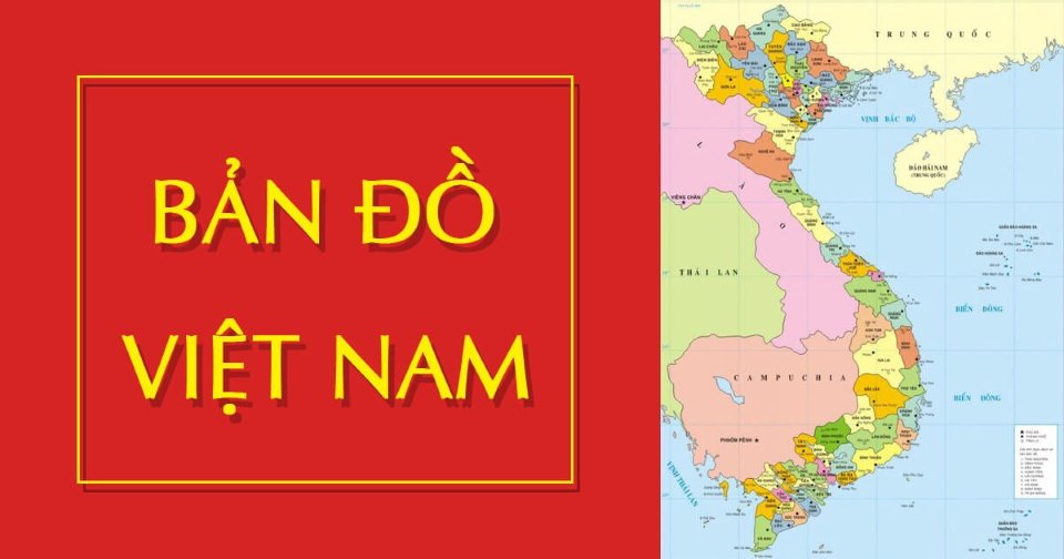
Content of the State Administrative Map Set and Other Administrative Maps
This is one of the important contents stipulated in Circular 47/2014/TT-BTNMT on Technical Regulations for the Establishment of Administrative Maps at All Levels, promulgated on August 22, 2014.

Contents of the national administrative map set and other administrative maps (Illustrative Image)
According to Article 28 Circular 47/2014/TT-BTNMT, the contents of the national administrative map set are regulated as follows:
National administrative maps, provincial-level administrative maps, and district-level administrative maps in the national administrative map set have similar contents to those of corresponding national, provincial, and district-level administrative maps as stipulated in Articles 26 and 27 of this Circular.
- The generalization of content indicators is permitted depending on the scale and purpose of map usage based on the following principles:
- The foundational mathematical elements of map pages in the set include the following contents: inner frame, latitude-longitude grid, scale, and scale ruler;- Specialized elements must accurately represent national borders, administrative boundaries; islands, archipelagos, rocks, submerged banks, shoals, and other banks accompanied by annotations on names and territorial sovereignty belonging to Vietnam as requested by the competent state management agency;
Geographical base elements are represented as follows:
- Elevation points and names of characteristic mountains in the territory of the administrative unit establishing the map;- Hydrological, residential, traffic, economic-social elements on the map pages in the set are permitted to be generalized according to cartographic principles suitable to the map scale; ensuring uniformity of technical indicators across the map pages in the set.
Regarding the content of other administrative maps:
Administrative maps established under any type have content indicators similar to those of corresponding national administrative maps as stipulated in Articles 26, 27, and 28 of this Circular.
The map content must ensure:
- Foundational mathematical, specialized elements as specified in Points a and b Clause 2 Article 28 of this Circular;- Geographical base elements are allowed to generalize content indicators depending on the scale and purpose of map usage, according to cartographic generalization principles and the regulations at Point c Clause 2 Article 28 of this Circular.
More details can be found in Circular 47/2014/TT-BTNMT, effective from August 22, 2014.
Thuy Tram
- 08 cases of revocation of road transport business licenses by automobile without time limit in Vietnam from January 01, 2025
- Dossier, procedures for issuing road transport business licenses by automobile in Vietnam from January 1, 2025
- Prime Minister of Vietnam requests promotion and breakthroughs in new growth drivers such as semiconductor chips and artificial intelligence in Vietnam
- Technical procedures for operating a municipal solid waste incineration facility for energy recovery and electricity generation in Vietnam
- Regulations on passenger transportation business by taxi in Vietnam from January 1, 2025
- Prime Minister of Vietnam directs urgent solutions for fire prevention and fighting at fire and explosion hazardous facilities and crowded locations during Lunar New Year holiday in Vietnam
-

- 08 cases of revocation of road transport business ...
- 09:00, 25/12/2024
-

- Dossier, procedures for issuing road transport ...
- 08:00, 25/12/2024
-

- Prime Minister of Vietnam requests promotion and ...
- 19:00, 24/12/2024
-

- Technical procedures for operating a municipal ...
- 18:30, 24/12/2024
-

- Methods for determining the cost of public service ...
- 18:13, 24/12/2024
 Article table of contents
