Contents of implementing measurement of greenhouse gas emissions reduction in the forestry sector as of January 1, 2024

What are the contents of implementing measurement of greenhouse gas emissions reduction in the forestry sector as of January 1, 2024? – Hoang My (Binh Phuoc)
 Article table of contents
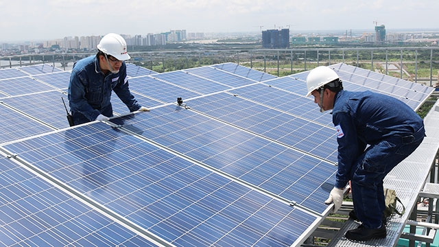
Contents of implementing measurement of greenhouse gas emissions reduction in the forestry sector as of January 1, 2024 (Internet image)
Regarding this issue, LawNet would like to answer as follows:
1. Contents of implementing measurement of greenhouse gas emissions reduction in the forestry sector as of January 1, 2024
- Documents used to measure greenhouse gas emissions reduction:
+ Annual publication of the national forest status, reports on the investigation, inventory, and monitoring of national forests, and forestry statistics from the Ministry of Agriculture and Rural Development;
+ Land statistics and inventory according to regulations of the Ministry of Natural Resources and Environment;
+ Forestry and land use statistics from the General Statistics Office;
+ Reports and statistics on forestry and land issued by competent local authorities.
- Data used to measure greenhouse gas emissions reduction:
+ Forest state areas; timber and firewood exploitation volume; forest areas damaged by fire, natural disasters, and forest pests; forest state changes; conversion of forest land to other types of land and vice versa;
+ Average biomass of forest states; annual biomass growth and average timber stock of forest states;
+ Average deadwood stock; dry matter and litter biomass of forest states; carbon stock in the soil; burned material mass.
- Indicators for measuring greenhouse gas emissions reduction
Greenhouse gas emissions reduction results are determined in the base year and the year of measurement for each reduction measure, specifically as follows:
+ Emissions and absorption of greenhouse gases due to changes in biomass carbon stock;
+ Emissions and absorption of greenhouse gases due to changes in deadwood and litter biomass carbon stock;
+ Emissions and absorption of greenhouse gases due to changes in soil carbon stock;
+ Greenhouse gas emissions from biomass burning.
(Article 4 of Circular 23/2023/TT-BNNPTNT)
2. Determination of areas for implementing greenhouse gas emissions reduction measures in the forestry sector in Vietnam as of January 1, 2024
- Greenhouse gas emissions reduction measures include:
+ Protection of natural forests;
+ Protection of coastal forests;
+ Afforestation on non-forest land, special-use forests, and production forests;
+ Promoting natural regeneration and enriched natural regeneration, forest enrichment, and nurturing of natural forests;
+ Development of large-scale planted forests;
+ Development of agroforestry models;
+ Sustainable forest management.
- Determining the areas for implementing reduction measures
+ Information and data for determining reduction measures include: a current forest map at the time of determining the implementation area; a boundary map of the 3 types of forests; a forest environmental service payment map; a topographic map including administrative boundaries, contour lines, elevation points, residential areas, and transportation routes;
+ Establishing specialized information layers to determine the boundaries of each reduction measure, including: forest state boundary layer from the current forest map; functional zoning layer of special-use forests from the boundary map of the 3 types of forests; boundary layer of areas receiving forest environmental service payments from the forest environmental service payment map; digital elevation model layer from the topographic map; slope layer from the digital elevation model; distance layer to residential areas from the residential area layer of the topographic map; distance layer to main transportation routes from the transportation route layer of the topographic map;
+ Determining the boundaries of each reduction measure: Overlapping the spatial layers of specialized information using geographic information system software into a synthesized information layer; analyzing and selecting boundaries for each reduction measure.
(Article 6 of Circular 23/2023/TT-BNNPTNT)
- Cases of land rent exemption and reduction under the latest regulations in Vietnam
- Economic infrastructure and social infrastructure system in Thu Duc City, Ho Chi Minh City
- Regulations on ordination with foreign elements in religious organizations in Vietnam
- Increase land compensation prices in Vietnam from January 1, 2026
- Determination of land compensation levels for damage during land requisition process in Vietnam
- Who is permitted to purchase social housing according to latest regulations in Vietnam?
-

- Number of deputy directors of departments in Vietnam ...
- 15:04, 05/03/2025
-

- Cases ineligible for pardon in Vietnam in 2025
- 14:43, 05/03/2025
-
- Decree 50/2025 amending Decree 151/2017 on the ...
- 12:00, 05/03/2025
-

- Circular 07/2025 amending Circular 02/2022 on ...
- 11:30, 05/03/2025
-
- Adjustment to the organizational structure of ...
- 10:34, 05/03/2025
-

- Notable new policies of Vietnam effective as of ...
- 16:26, 11/04/2025
-
.Medium.png)
- Notable documents of Vietnam in the previous week ...
- 16:21, 11/04/2025
-
.Medium.png)
- Notable documents of Vietnam in the previous week ...
- 16:11, 02/04/2025
-
.Medium.png)
- Notable new policies of Vietnam to be effective ...
- 16:04, 02/04/2025
-
.Medium.png)
- Notable new policies of Vietnam effective from ...
- 14:51, 21/03/2025
