What are topographic and cartographic activities? What are the prohibited acts in topographic and cartographic activities in Vietnam? - Thien Tam (Tien Giang, Vietnam)

Topographic and cartographic activities in Vietnam and 04 things you should know (Internet image)
1. What are topographic and cartographic activities?
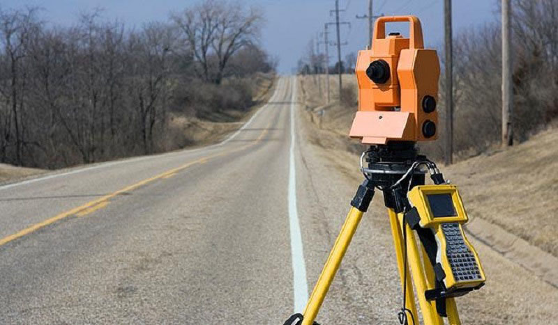
According to Clause 4, Article 3 of the Law on Topographic and Cartographic 2018, topographic and cartographic activities means surveying geographical subjects, constructing and operating topographic infrastructure works and geographical database, mapping and creating other topographic and cartographic products.
Topographic and cartographic activities include fundamental and specialized topographic and cartographic activities.
2. Fundamental rules of topographic and cartographic activities in Vietnam
The fundamental rules of topographic and cartographic activities according to Article 4 of the Law on Topographic and Cartographic 2018 are as follows:
- Topographic and cartographic activities must ensure sovereignty of the country, territorial integrity, national defense, security, order and social safety, satisfy international integration requirement and comply with international agreements to which the Socialist Republic of Vietnam is a signatory as well as timely apply science and technology advances.
- Topographic and cartographic information, data and products must be timely, sufficiently and accurately updated and provided meeting requirement for socio-economic development, national defense and security, management of resources and environment, preventing and fighting against natural disasters, rescuing and dealing with climate change as well as broadening people’s knowledge.
- Topographic infrastructure works, topographic and cartographic information, data and products must be managed and protected in accordance with provisions in herein and other relevant law provisions; topographic infrastructure works , topographic and cartographic information, data and products that are made by using state budget are considered public properties and must be commonly used and inherited.
- Information, data and products from fundamental topographic and cartographic activities must be used in specialized topographic and cartographic activities.
- A database of fundamental topography and cartography must be used as foundation for setting up national geographical space data.
3. Prohibited acts in topographic and cartographic activities in Vietnam
Prohibited acts in topographic and cartographic activities under Article 6 of the Law on Topographic and Cartographic 2018 are as follows:
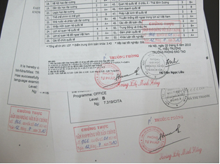
- Counterfeiting or falsifying topographic and cartographic data or results
- Destroying or damaging topographic infrastructure works, infringing the protective corridor of topographic infrastructure works
- Carrying out topographic and cartographic activities when failing to satisfy requirements prescribed in laws
- Publishing and circulating topographic and cartographic products, map publications related to sovereignty of the country that fail to show or improperly show national sovereignty and boundaries.
- Obstructing legal topographic and cartographic activities performed by agencies, organizations and individuals
- Making use of topographic and cartographic activities to harm benefits of people and country, juridical rights and benefits of organizations and individuals
- Disseminating or revealing topographic and cartographic information, data and products in the list of State secrets.
4. Finance for topographic and cartographic activities in Vietnam
Finance for topographic and cartographic activities according to Article 9 of Law on Topographic and Cartographic 2018 is as follows:
- State management in topographic and cartographic activities by ministries, ministerial agencies and Governmental agencies, building and development of national geographical space data infrastructure shall be funded by central government budget.
- State management in topographic and cartographic activities by People’s Committees of all levels, building and development of national geographical space data infrastructure under local management shall be funded by local government budget.
- Topographic and cartographic activities carried out by organizations and individuals satisfying their own demands shall be funded by those organizations and individuals themselves.
Quoc Dat
 Article table of contents


.Medium.png)
.Medium.png)
.Medium.png)
.Medium.png)
