What are regulations on measuring coordinates and elevation of commune-level administrative boundary markers in Vietnam?
Recently, the Ministry of Natural Resources and Environment issued Circular 48/2014/TT-BTNMT regulating techniques for determining administrative boundaries, placing boundary markers, and establishing administrative boundary dossiers at all levels.

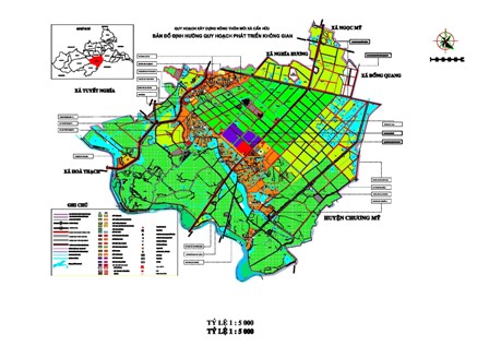
What are regulations on measuring coordinates and elevation of commune-level administrative boundary markers in Vietnam? (Internet image)
Circular 48/2014/TT-BTNMT stipulates that coordinates and elevations of administrative boundary markers at the commune level are directly surveyed in the field using common surveying equipment such as GPS receivers and electronic total stations. The control points for coordinates and elevations used for initialization are state coordinate and elevation points within the survey area. When using GPS technology, the observation time must be selected according to the distance from the control points to the administrative boundary markers that need coordinates but must not be less than 60 minutes. The calculation process for surveying coordinates and elevations of administrative boundary markers at the commune level in Vietnam is as follows:
- The adjustment process to determine coordinates and elevations of administrative boundary markers is carried out similarly to the adjustment process of coordinate control networks at various levels. The coordinates of the commune-level administrative boundary markers are adjusted in the VN-2000 System, with a 3° projection fitting the central meridian of the topographic map used as the basis for establishing the administrative boundary map of the commune area.
- The mean square error of the coordinates and elevations of the commune-level administrative boundary markers after adjustment must not exceed 0.3m for the horizontal plane and 0.5m for the elevation. In concealed or difficult areas, these errors are allowed to increase to 0.5m for the horizontal plane and 0.7m for the elevation;- After the adjustment calculations, a Confirmation Table of commune-level administrative boundary marker coordinates must be prepared, with the coordinates and elevation values noted to 0.01m as per the template specified in Appendix 04 issued with this Circular.
More details can be found in Circular 48/2014/TT-BTNMT which comes into effect in Vietnam from November 3, 2014.
Ty Na
- Key word:
- administrative boundary
- Vietnam
- Number of deputy directors of departments in Vietnam in accordance with Decree 45/2025/ND-CP
- Cases ineligible for pardon in Vietnam in 2025
- Decree 50/2025 amending Decree 151/2017 on the management of public assets in Vietnam
- Circular 07/2025 amending Circular 02/2022 on the Law on Environmental Protection in Vietnam
- Adjustment to the organizational structure of the Ministry of Health of Vietnam: Certain agencies are no longer listed in the organizational structure
- Vietnam aims to welcome 22-23 million international tourists in Vietnam in 2025
-

- Number of deputy directors of departments in Vietnam ...
- 15:04, 05/03/2025
-

- Cases ineligible for pardon in Vietnam in 2025
- 14:43, 05/03/2025
-

- Decree 50/2025 amending Decree 151/2017 on the ...
- 12:00, 05/03/2025
-

- Circular 07/2025 amending Circular 02/2022 on ...
- 11:30, 05/03/2025
-

- Adjustment to the organizational structure of ...
- 10:34, 05/03/2025
-

- Notable new policies of Vietnam effective as of ...
- 16:26, 11/04/2025
-
.Medium.png)
- Notable documents of Vietnam in the previous week ...
- 16:21, 11/04/2025
-
.Medium.png)
- Notable documents of Vietnam in the previous week ...
- 16:11, 02/04/2025
-
.Medium.png)
- Notable new policies of Vietnam to be effective ...
- 16:04, 02/04/2025
-
.Medium.png)
- Notable new policies of Vietnam effective from ...
- 14:51, 21/03/2025
 Article table of contents
