Vietnam: Mathematical basis in developing digital author copy
Recently, the Ministry of Natural Resources and Environment of Vietnam promulgated Circular 47/2014/TT-BTNMT on technical regulations on administrative maps of all levels, including the provisions on the mathematical basis in developing digital author copy.

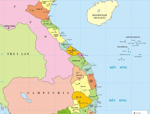
Vietnam: Mathematical basis in developing digital author copy (Illustration)
Under Article 21 of Circular 47/2014/TT-BTNMT, the mathematical basis development in Vietnam is specified as follows:
- Nationwide governmental administrative map
- Frame line: East and West frame lines are parallel to the prime meridian whereas the North and South frame lines are perpendicular to the prime meridian;
- Maps are divided into grids which are numbered with natural number from north to south, west to east;
- Nationwide governmental administrative maps shall cover 2 degrees of longitude and 20 degrees of latitude regardless of scale;
- 2 to 4 national coordinates and elevation points are included in a geographical region of the map; these coordinates and elevation points can be left out in nationwide administrative maps of 1:3.500.000 scale;
- Specify scale and scale indicator of maps.
- Provincial-level, district-level governmental administrative maps
- Frame line: East and West frame lines are parallel to the prime meridian whereas the North and South frame lines are perpendicular to the prime meridian;
- Maps are divided into grids which are numbered with natural number from north to south, west to east;
- Longitude to latitude density of provincial-level, district-level governmental administrative maps is specified under Schedule 1:
Schedule 1
|
Map scale |
Longitude to latitude density |
|
1:2.000 - 1:5.000 |
2′ x 2′ |
|
1:6.000 - 1:25.000 |
5′ x 5′ |
|
1:26.000 - 1:80.000 |
10′ x 10′ |
|
1:81.000 - 1:150.000 |
20′ x 20′ |
- 2 to 4 national coordinates and elevation points are included in the main administrative division of the map;
- Specify scale and scale indicator of maps.
- Atlases of governmental administrative maps and other administrative maps
- Mathematical basis including: Longitude and latitude grid and note, scale or scale indicator, frame line;
- Depending on the purpose of the map, dimensions of longitude and latitude grid can be rounded to the degree or minute accordingly.
More details can be found in Circular 47/2014/TT-BTNMT effective from August 22, 2014.
Thuy Tram
- Number of deputy directors of departments in Vietnam in accordance with Decree 45/2025/ND-CP
- Cases ineligible for pardon in Vietnam in 2025
- Decree 50/2025 amending Decree 151/2017 on the management of public assets in Vietnam
- Circular 07/2025 amending Circular 02/2022 on the Law on Environmental Protection in Vietnam
- Adjustment to the organizational structure of the Ministry of Health of Vietnam: Certain agencies are no longer listed in the organizational structure
- Vietnam aims to welcome 22-23 million international tourists in Vietnam in 2025
-

- Number of deputy directors of departments in Vietnam ...
- 15:04, 05/03/2025
-

- Cases ineligible for pardon in Vietnam in 2025
- 14:43, 05/03/2025
-

- Decree 50/2025 amending Decree 151/2017 on the ...
- 12:00, 05/03/2025
-

- Circular 07/2025 amending Circular 02/2022 on ...
- 11:30, 05/03/2025
-

- Adjustment to the organizational structure of ...
- 10:34, 05/03/2025
-

- Notable new policies of Vietnam effective as of ...
- 16:26, 11/04/2025
-
.Medium.png)
- Notable documents of Vietnam in the previous week ...
- 16:21, 11/04/2025
-
.Medium.png)
- Notable documents of Vietnam in the previous week ...
- 16:11, 02/04/2025
-
.Medium.png)
- Notable new policies of Vietnam to be effective ...
- 16:04, 02/04/2025
-
.Medium.png)
- Notable new policies of Vietnam effective from ...
- 14:51, 21/03/2025
 Article table of contents
