Vietnam: Contents on the correction of documents on salinity intrusion monitoring
Circular 39/2016/TT-BTNMT issued by the Ministry of Natural Resources and Environment concerning technical regulations on monitoring and investigating saltwater intrusion in Vietnam will be effective from February 10, 2017.

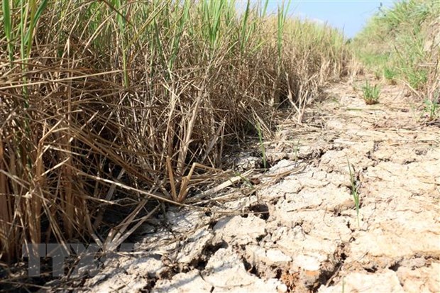
Vietnam: Contents on the correction of documents on salinity intrusion monitoring - Illustrative image
Under Article 10 of Circular 39/2016/TT-BTNMT stipulates the correction of documents on salinity intrusion monitoring in Vietnam as follows:
1. Checking and analyzing data
Conduct the review and verification of original documents:
- Order, date, time of sampling;
- Location of measurement, sampling;
- Water level, depth, water temperature;- Review and analysis of results, calculations (original documents, measurement results, field calculation results).
2. Checking the reasonableness of the documents
- The reasonableness of measurement documents over time and space (distribution of salinity over space and time); specific characteristics of salinity measurement points along the river (status of the measurement network, characteristic salinity profile along the river (M-3) and the salinity relationship between two measurement points) to check the reasonableness of the documents.
- At the measurement points on the same river (arranged in order from the river mouth upstream): salinity decreases from the river mouth to the salinity boundary. Salinity at the upstream measurement points is typically lower than at the downstream measurement points. Salinity at main river points is usually higher than at tributary points and points deep inland. The peaks and troughs of salinity at upstream points appear later than at downstream points.
- At a measurement point:
+ The relationship between salinity process and tidal process (water level) has a corresponding similar shape but the salinity process is usually delayed compared to the tidal process;
+ When the upstream flow is low, the tidal flow into the estuary area will be high and salinity will be high; conversely, salinity will be low.
- For rivers influenced by the exchange with other rivers, the above rule may not be accurate for tributary points, therefore measurement documents over multiple years should be considered to identify patterns.
- Based on the above rules, check for reasonableness. If any dubious issues are detected, analyze to find the cause. If the cause is natural, it should be noted. If the cause is due to human error, corrections should be made in accordance with the reasonable natural trend.
Detailed regulations may be found in Circular 39/2016/TT-BTNMT issued on December 19, 2016.
Le Vy
- Number of deputy directors of departments in Vietnam in accordance with Decree 45/2025/ND-CP
- Cases ineligible for pardon in Vietnam in 2025
- Decree 50/2025 amending Decree 151/2017 on the management of public assets in Vietnam
- Circular 07/2025 amending Circular 02/2022 on the Law on Environmental Protection in Vietnam
- Adjustment to the organizational structure of the Ministry of Health of Vietnam: Certain agencies are no longer listed in the organizational structure
- Vietnam aims to welcome 22-23 million international tourists in Vietnam in 2025
-

- Number of deputy directors of departments in Vietnam ...
- 15:04, 05/03/2025
-

- Cases ineligible for pardon in Vietnam in 2025
- 14:43, 05/03/2025
-

- Decree 50/2025 amending Decree 151/2017 on the ...
- 12:00, 05/03/2025
-

- Circular 07/2025 amending Circular 02/2022 on ...
- 11:30, 05/03/2025
-

- Adjustment to the organizational structure of ...
- 10:34, 05/03/2025
-

- Notable new policies of Vietnam effective as of ...
- 16:26, 11/04/2025
-
.Medium.png)
- Notable documents of Vietnam in the previous week ...
- 16:21, 11/04/2025
-
.Medium.png)
- Notable documents of Vietnam in the previous week ...
- 16:11, 02/04/2025
-
.Medium.png)
- Notable new policies of Vietnam to be effective ...
- 16:04, 02/04/2025
-
.Medium.png)
- Notable new policies of Vietnam effective from ...
- 14:51, 21/03/2025
 Article table of contents
