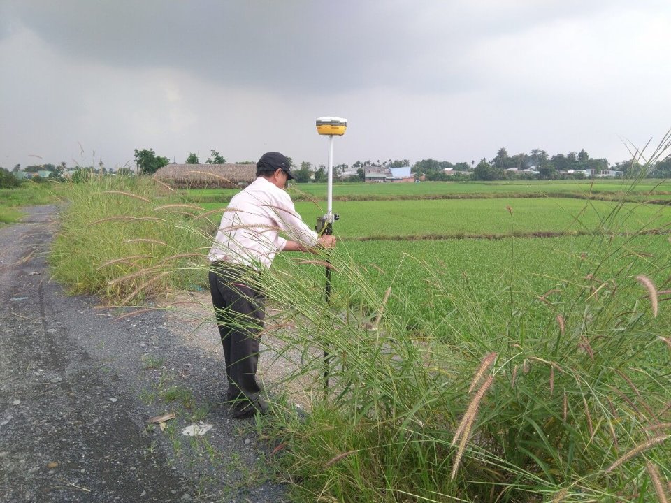
Vietnam: Basis for determining boundaries and area of paddy land
This is an important content stipulated in Circular 17/2014/TT-BTNMT providing guidance on the determination of boundaries, area, and development of the paddy land database, issued by the Minister of Natural Resources and Environment of Vietnam on April 21, 2014.

Vietnam: Basis for determining boundaries and area of paddy land (Illustrative Image)
Under Article 5 of Circular 17/2014/TT-BTNMT, the basis for determining the boundaries and areas of paddy land/paddy rice land to be protected and the paddy rice land to be strictly protected in Vietnam includes:
- Cadastral records;
- Land statistics, inventory data, and current land use maps;
- Explanatory reports on planning and land use planning maps at the district level.
Where there are explanatory reports on planning and land use planning maps at the commune level, the explanatory reports and land use planning maps of the commune and district levels shall be used;
- Area quotas for paddy land/paddy rice land allocated by the supervisory land use planning and plan in the planning period;
- Explanatory reports and maps for new rural construction planning (if any);
- Explanatory reports and maps for paddy land classification (if any);
- Explanatory reports and maps for paddy land use planning (if any).
The base map used for determining the boundaries and area of paddy land is the base map used to design current land use maps at the commune level with a scale of 1:1,000 to 1:10,000.
Simultaneously, the determination of boundaries and area of paddy land must adhere to the following principles and requirements:
- The determination of boundaries and area of paddy land/paddy rice land to be protected and the paddy rice land to be strictly protected is carried out directly at the commune, ward, town (hereinafter referred to as the commune level); it is aggregated into the paddy land database of districts, townships, provincial cities (hereinafter referred to as the district level), of provinces and municipalities (hereinafter referred to as the provincial level), and the whole country.
- Ensure conformity with the location and allocation targets of the supervisory land use planning and plan approved by the competent authority.
More details can be found in Circular 17/2014/TT-BTNMT effective from July 1, 2014.
Thuy Tram
- Number of deputy directors of departments in Vietnam in accordance with Decree 45/2025/ND-CP
- Cases ineligible for pardon in Vietnam in 2025
- Decree 50/2025 amending Decree 151/2017 on the management of public assets in Vietnam
- Circular 07/2025 amending Circular 02/2022 on the Law on Environmental Protection in Vietnam
- Adjustment to the organizational structure of the Ministry of Health of Vietnam: Certain agencies are no longer listed in the organizational structure
- Vietnam aims to welcome 22-23 million international tourists in Vietnam in 2025
-

- Number of deputy directors of departments in Vietnam ...
- 15:04, 05/03/2025
-

- Cases ineligible for pardon in Vietnam in 2025
- 14:43, 05/03/2025
-

- Decree 50/2025 amending Decree 151/2017 on the ...
- 12:00, 05/03/2025
-

- Circular 07/2025 amending Circular 02/2022 on ...
- 11:30, 05/03/2025
-

- Adjustment to the organizational structure of ...
- 10:34, 05/03/2025
-

- Notable new policies of Vietnam effective as of ...
- 16:26, 11/04/2025
-
.Medium.png)
- Notable documents of Vietnam in the previous week ...
- 16:21, 11/04/2025
-
.Medium.png)
- Notable documents of Vietnam in the previous week ...
- 16:11, 02/04/2025
-
.Medium.png)
- Notable new policies of Vietnam to be effective ...
- 16:04, 02/04/2025
-
.Medium.png)
- Notable new policies of Vietnam effective from ...
- 14:51, 21/03/2025
 Article table of contents
