Some Requirements for Remote Sensing Imagery Data and Map Data
Circular 10/2015/TT-BTNMT stipulates technical regulations on the production of high and ultra-high resolution optical remote sensing images for supply to users, issued by the Minister of Natural Resources and Environment on March 25, 2015.

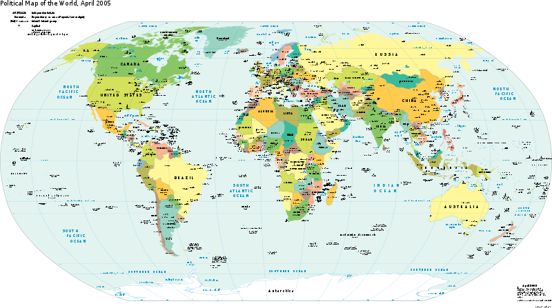
Some Requirements for Remote Sensing Images and Map Data (Illustration)
Circular 10/2015/TT-BTNMT stipulates that remote sensing image data must meet the technical parameters of the remote sensing image and the satellite's orbit. To be specific:
- Level 0 remote sensing data must ensure quality during the signal acquisition and processing, with no signal errors or interruptions.
- Level 0 remote sensing data must be preliminarily evaluated for cloud cover level in the form of quick view images. The classification of cloud cover is divided into levels and denoted by letters as follows:
- Level A: Remote sensing image with cloud cover below 10%;- Level B: Remote sensing image with cloud cover from 10 - 25%;- Level C: Remote sensing image with cloud cover 25% or more;
Remote sensing images selected as input data should have cloud cover appropriate to the requirements set by the user.
In addition, the Circular also specifies that maps used for identifying control points must be national digital topographic maps at a larger scale than the remote sensing image map being established.
The data required to be collected for remote sensing image production includes:
- Remote sensing image data.- Map data.- Image control point data.- Digital elevation model.- Project technical design and other relevant technical documents.
For more details, refer to Circular 10/2015/TT-BTNMT, effective from May 12, 2015.
Le Hai
- Number of deputy directors of departments in Vietnam in accordance with Decree 45/2025/ND-CP
- Cases ineligible for pardon in Vietnam in 2025
- Decree 50/2025 amending Decree 151/2017 on the management of public assets in Vietnam
- Circular 07/2025 amending Circular 02/2022 on the Law on Environmental Protection in Vietnam
- Adjustment to the organizational structure of the Ministry of Health of Vietnam: Certain agencies are no longer listed in the organizational structure
- Vietnam aims to welcome 22-23 million international tourists in Vietnam in 2025
-

- Notable new policies of Vietnam effective as of ...
- 16:26, 11/04/2025
-
.Medium.png)
- Notable documents of Vietnam in the previous week ...
- 16:21, 11/04/2025
-
.Medium.png)
- Notable documents of Vietnam in the previous week ...
- 16:11, 02/04/2025
-
.Medium.png)
- Notable new policies of Vietnam to be effective ...
- 16:04, 02/04/2025
-
.Medium.png)
- Notable new policies of Vietnam effective from ...
- 14:51, 21/03/2025
 Article table of contents
