Regulations on Packaging of administrative boundary records at All Levels in Vietnam
On August 22, 2014, the Ministry of Natural Resources and Environment issued Circular 48/2014/TT-BTNMT specifying the technical standards for determining administrative boundary lines, setting boundary markers, and preparing administrative boundary records at all levels in Vietnam.

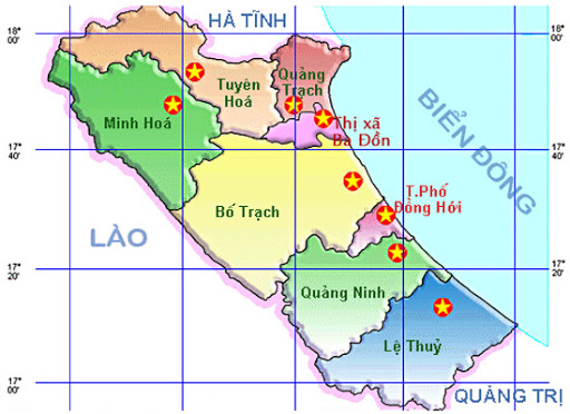
Regulations on Packaging of administrative boundary records at All Levels in Vietnam (Illustrative image)
Circular 48/2014/TT-BTNMT regulates the packaging of administrative boundary dossier products at all levels. Before packaging the products of administrative boundary maps at all levels, a comprehensive review of the products in Vietnam must be conducted according to the following contents:
- Qualitative and quantitative information of the geographical elements with the same name on the administrative boundary maps at all levels must not be contradictory, particularly the elements related to the description of the administrative boundaries at all levels;
- The administrative boundary elements and geographical elements shown on the related topographic maps must be reviewed, standardized 100% for accuracy, and relevance between digital maps, original field maps, and the verified description of administrative boundaries at all levels;
- Printed administrative boundary maps at all levels must be of high quality, consistent in color tone, form, and symbol colors throughout the entire product. The content elements regarding administrative boundaries must be clear and easily identifiable.
The adjoining process must be carried out before compiling the map content from the commune level to the district level and from the district level to the provincial level. All line and region objects intersecting with the boundary line must be adjoining according to the principle that line and region objects must not be deformed, misaligned, or broken. The objects and place names with the same names between adjacent administrative units must be consistent.
The packaging and handover of products are only carried out after the final inspection and acceptance of the entire project's products. Administrative boundary maps are packaged according to the regulations for establishing administrative boundary dossiers at all levels, including:
- Digital map data and edited results for printing on paper;
- Symbol libraries used for creating and editing administrative boundary maps at all levels;
- Tables of coordinate statistics for benchmarks, characteristic points, and other intermediate products used in the map establishment process.
GPS measurements follow the template in Appendix 7 of the national technical regulation on building coordinate grid.
Results of adjustment calculations for coordinates and elevation of administrative boundary benchmarks at all levels.
Digital product items are recorded on high-quality CDs, DVDs, or other digital storage devices.
More details can be found in Circular 48/2014/TT-BTNMTwhich comes into effect in Vietnam from November 3, 2014.
Ty Na
- Key word:
- boundary record
- Vietnam
- administrative boundary
- Number of deputy directors of departments in Vietnam in accordance with Decree 45/2025/ND-CP
- Cases ineligible for pardon in Vietnam in 2025
- Decree 50/2025 amending Decree 151/2017 on the management of public assets in Vietnam
- Circular 07/2025 amending Circular 02/2022 on the Law on Environmental Protection in Vietnam
- Adjustment to the organizational structure of the Ministry of Health of Vietnam: Certain agencies are no longer listed in the organizational structure
- Vietnam aims to welcome 22-23 million international tourists in Vietnam in 2025
-

- Number of deputy directors of departments in Vietnam ...
- 15:04, 05/03/2025
-

- Cases ineligible for pardon in Vietnam in 2025
- 14:43, 05/03/2025
-

- Decree 50/2025 amending Decree 151/2017 on the ...
- 12:00, 05/03/2025
-

- Circular 07/2025 amending Circular 02/2022 on ...
- 11:30, 05/03/2025
-

- Adjustment to the organizational structure of ...
- 10:34, 05/03/2025
-

- Notable new policies of Vietnam effective as of ...
- 16:26, 11/04/2025
-
.Medium.png)
- Notable documents of Vietnam in the previous week ...
- 16:21, 11/04/2025
-
.Medium.png)
- Notable documents of Vietnam in the previous week ...
- 16:11, 02/04/2025
-
.Medium.png)
- Notable new policies of Vietnam to be effective ...
- 16:04, 02/04/2025
-
.Medium.png)
- Notable new policies of Vietnam effective from ...
- 14:51, 21/03/2025
 Article table of contents
