Promulgation of the coordinates of the center of Long Khanh district-level town, Dong Nai, Vietnam
21:53, 10/07/2024
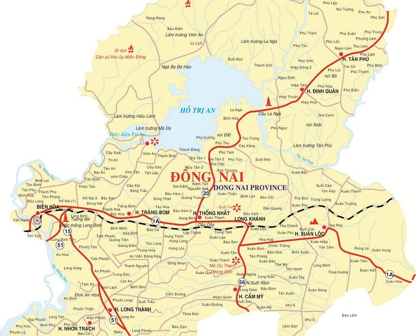
This is an important provision stipulated in Circular 23/2016/BTNMT regarding the list of residential, mountainous, hydrography, socio-economic destinations serving the map creation of Dong Nai Province.
To be specific, the central coordinates of the Long Khanh district-level town, Dong Nai are detailed in Circular 23/2016/BTNMT in the table below:
View detailed content at Circular 23/2016/BTNMT effective from October 18, 2016.
- Thanh Lam -
Related Content
- Number of deputy directors of departments in Vietnam in accordance with Decree 45/2025/ND-CP
- Cases ineligible for pardon in Vietnam in 2025
- Decree 50/2025 amending Decree 151/2017 on the management of public assets in Vietnam
- Circular 07/2025 amending Circular 02/2022 on the Law on Environmental Protection in Vietnam
- Adjustment to the organizational structure of the Ministry of Health of Vietnam: Certain agencies are no longer listed in the organizational structure
- Vietnam aims to welcome 22-23 million international tourists in Vietnam in 2025
SEARCH ARTICLE
Related Article
-

- What are regulations on land use plan for the ...
- 12:35, 11/07/2024
-

- Number of topographic map of Cam My district, ...
- 21:53, 10/07/2024
-

- Relative location coordinates of Bien Hoa city ...
- 21:53, 10/07/2024
-

- Compilation of district-level administrative units ...
- 21:52, 10/07/2024
JUST UPDATED
-

- Notable new policies of Vietnam effective as of ...
- 16:26, 11/04/2025
-
.Medium.png)
- Notable documents of Vietnam in the previous week ...
- 16:21, 11/04/2025
-
.Medium.png)
- Notable documents of Vietnam in the previous week ...
- 16:11, 02/04/2025
-
.Medium.png)
- Notable new policies of Vietnam to be effective ...
- 16:04, 02/04/2025
-
.Medium.png)
- Notable new policies of Vietnam effective from ...
- 14:51, 21/03/2025
New text summary report
-
Real estate
-
Policy analysis
-
Legal Counselling
-
Case law
-
Forms and Templates
-
New text catalog
-
New Text Notification
-
Highlights of the week
-
Finance
-
New policy in effect
-
Labor - Salary
-
Officials and civil servants
-
Land - Housing
-
Tax-free-fee
-
Custom
-
Enterprise - Investment
-
Administration
-
Insurance
-
Civil
-
Set of Laws
-
News about Case Law
-
Economy
-
Life
-
Health
-
Cultural
-
Commerce
-
Military
-
History
-
Strange story
-
Criminal
-
Traffic
-
Education
-
Other
 Article table of contents
