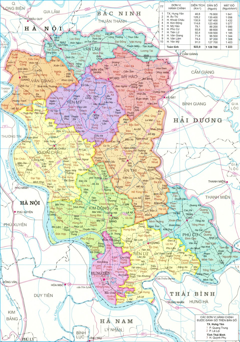
Population and socio-economic factors in provincial and district administrative mapping in Vietnam
Recently, the Ministry of Natural Resources and Environment of Vietnam issued Circular 47/2014/TT-BTNMT on technical regulations for establishing administrative maps at all levels, in which provisions on population and socio-economic factors are included in the establishment of provincial and district-level administrative maps.

Population and socio-economic factors in provincial and district administrative mapping in Vietnam (Illustrative Image)
At Article 27 of Circular 47/2014/TT-BTNMT regulating population and socio-economic aspects in provincial and district-level administrative map making in Vietnam:
- Representing and distinguishing urban population and rural population;
- Urban population is represented in 2 forms: ground plan symbols and non-scaled symbols;
- Ground plan symbols are used for all urban population points with an area on the map ≥ 50 mm² including: urban residential area boundary and main streets; urban population points with an area < 50 mm² are represented by non-scaled symbols;
- Rural population points with an area on the map ≥ 100 mm² are represented by ground plan symbols including: boundary of the most concentrated residential area and main roads;
- Concentrated population points with an area on the map < 100 mm² are represented by non-scaled symbols. Priority is given to selecting population points with national and provincial cultural and historical landmarks, famous scenic spots, related to national borders, administrative boundaries;
- Representation density is 10 points/1 dm². In special cases, the representation density can be adjusted to match the map’s capacity;
- Population points scattered along linear objects are represented by scattered house symbols and ensure density distribution;
- Selectively annotate the names of population points to match the map’s capacity in city centers, district-level towns, commune-level towns.
Regarding socio-economic aspects:
Represent all national and provincial-ranked historical sites, architectural art sites, archaeological sites, and scenic spots. Other socio-economic objects are selectively represented.
More details can be found in Circular 47/2014/TT-BTNMT, effective from August 22, 2014.
Thuy Tram
- Key word:
- administrative mapping
- Vietnam
- Number of deputy directors of departments in Vietnam in accordance with Decree 45/2025/ND-CP
- Cases ineligible for pardon in Vietnam in 2025
- Decree 50/2025 amending Decree 151/2017 on the management of public assets in Vietnam
- Circular 07/2025 amending Circular 02/2022 on the Law on Environmental Protection in Vietnam
- Adjustment to the organizational structure of the Ministry of Health of Vietnam: Certain agencies are no longer listed in the organizational structure
- Vietnam aims to welcome 22-23 million international tourists in Vietnam in 2025
-

- Number of deputy directors of departments in Vietnam ...
- 15:04, 05/03/2025
-

- Cases ineligible for pardon in Vietnam in 2025
- 14:43, 05/03/2025
-

- Decree 50/2025 amending Decree 151/2017 on the ...
- 12:00, 05/03/2025
-

- Circular 07/2025 amending Circular 02/2022 on ...
- 11:30, 05/03/2025
-

- Adjustment to the organizational structure of ...
- 10:34, 05/03/2025
-

- Notable new policies of Vietnam effective as of ...
- 16:26, 11/04/2025
-
.Medium.png)
- Notable documents of Vietnam in the previous week ...
- 16:21, 11/04/2025
-
.Medium.png)
- Notable documents of Vietnam in the previous week ...
- 16:11, 02/04/2025
-
.Medium.png)
- Notable new policies of Vietnam to be effective ...
- 16:04, 02/04/2025
-
.Medium.png)
- Notable new policies of Vietnam effective from ...
- 14:51, 21/03/2025
 Article table of contents
