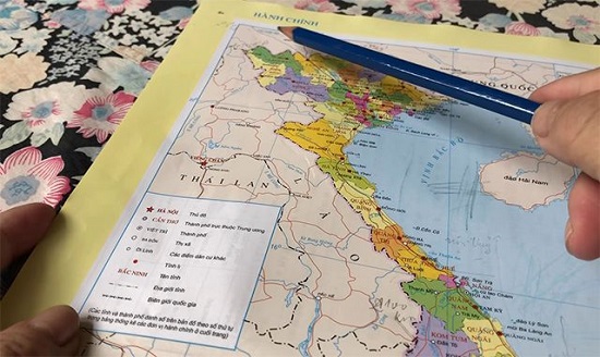
How many district-level administrative units are there in Bac Ninh province?
On September 6, 2018, the Ministry of Natural Resources and Environment of Vietnam issued Circular 05/2018/TT-BTNMT promulgating the list of residential place names, topography, hydrography, and socio-economic for the task of mapping Bac Ninh province.
According to the provisions of Circular 05, the current list of district-level administrative units of Bac Ninh province includes:
| No | District-level administrative unit |
| 1 | Bac Ninh City |
| 2 | Tu Son Town |
| 3 | Gia Binh District |
| 4 | Luong Tai District |
| 5 | Que Vo District |
| 6 | Thuan Thanh District |
| 7 | Tien Du District |
| 8 | Yen Phong District |
According to Circular 05, the list of residential, terrain, hydrological, socio-economic localities for the purpose of mapping Bac Ninh province is arranged in alphabetical order of Vietnamese of the district-level administrative units including city, district-level town, and districts, in which:
- The column "Locality" includes standardized localities.
- The column "Group of objects" signifies the group of localities, in which: DC represents the residential localities group, SV represents the terrain localities group, TV represents the hydrological localities group, KX represents the socio-economic localities group.
- The column "Name of commune-level administrative unit" includes the names of commune-level administrative units, in which: P. is the abbreviation for "ward", TT. is the abbreviation for "commune-level town".
- The column "Name of district-level administrative unit" includes the names of district-level administrative units, in which: TP. is the abbreviation for "city", TX. is the abbreviation for "district-level town", H. is the abbreviation for "district".- The column "Relative position coordinates of the object" includes the relative position coordinates of the geographical object corresponding to the locality in the column "Locality", if the object is represented by point or area symbols, then the corresponding coordinate value is according to the column "Center coordinates", if the object is represented by line symbols, then the corresponding coordinate values are according to two columns "Start point coordinates" and "End point coordinates".
- The column "Topographic map sheet number" indicates the topographic map sheet number at a scale of 1:25,000 containing the standardized locality in the column "Locality".
For details on the list of residential, terrain, hydrological, socio-economic localities, please refer to Circular 05/2018/TT-BTNMT effective from October 22, 2018.
- Thanh Lam -
- Key word:
- administrative unit
- Bac Ninh province
- Number of deputy directors of departments in Vietnam in accordance with Decree 45/2025/ND-CP
- Cases ineligible for pardon in Vietnam in 2025
- Decree 50/2025 amending Decree 151/2017 on the management of public assets in Vietnam
- Circular 07/2025 amending Circular 02/2022 on the Law on Environmental Protection in Vietnam
- Adjustment to the organizational structure of the Ministry of Health of Vietnam: Certain agencies are no longer listed in the organizational structure
- Vietnam aims to welcome 22-23 million international tourists in Vietnam in 2025
-

- Principles for organization and conditions for ...
- 19:03, 27/02/2025
-

- Conditions for establishment, dissolution, merger ...
- 08:00, 27/02/2025
-

- The Politburo of Vietnam requests continued research ...
- 16:53, 19/02/2025
-

- Arrangement of administrative units in the coming ...
- 20:00, 12/02/2025
-

- Urgently organize and consolidate the organizational ...
- 10:07, 29/01/2025
-

- Notable new policies of Vietnam effective as of ...
- 16:26, 11/04/2025
-
.Medium.png)
- Notable documents of Vietnam in the previous week ...
- 16:21, 11/04/2025
-
.Medium.png)
- Notable documents of Vietnam in the previous week ...
- 16:11, 02/04/2025
-
.Medium.png)
- Notable new policies of Vietnam to be effective ...
- 16:04, 02/04/2025
-
.Medium.png)
- Notable new policies of Vietnam effective from ...
- 14:51, 21/03/2025
 Article table of contents
