Hanoi-Vietnam: Technological labor norm in the preparation of road plans of remote sensing images
On July 05, 2019, the Vietnam Ministry of Natural Resources and Environment issued Circular No. 08/2019/TT-BTNM regarding the Economic-technical norms for the design of thematic maps by using remote sensing images in Vietnam at scales of 1:5,000, 1:10,000, 1:500,000, 1:1,000,000.
 Article table of contents
.jpg)
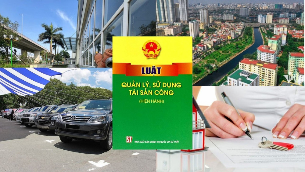
Technological labor norm in the preparation of road plans of remote sensing images in Vietnam (Illustrative photo)
The economic-technical norms issued together with Circular 08/2019/TT-BTNMT define the technological labor norm in the preparation of road plans of remote sensing images at scales of 1:5,000, 1:10,000, 1:500,000, and 1:1,000,000 in Vietnam. To be specific:
1. Task Content:
- Collect and take remote sensing images
- Measure photo control (applied only for thematic maps at scales of 1:5,000 and 1:10,000), as per the Circular promulgating the economic-technical norms for remote sensing photo control.
- Establish a digital elevation model (applied only for thematic maps at a scale of 1:5,000).
- Input initial data.
- Densify remote sensing image blocks.
- Geometrically correct remote sensing images.
- Enhance image quality.- Align, merge, and cut remote sensing image tiles.- Frame setup, coordinate grid, annotation, and outside frame elements of road plan of remote sensing images.
2. Difficulty classification:
- Type 1: Plains region, sparsely populated, simple structures; Low mountain regions, sparse vegetation and population, non-disrupted terrain; Easy judgment and point determination.
- Type 2: Plains region with relatively dense population, small commune-level towns, and industrial zones; Intermixed hill and mountain regions, relatively dense vegetation; Difficult judgment and point determination.
- Type 3: Densely populated plains region; Cities, district-level towns, large industrial zones, complex structures; Mountainous, high mountains, dense vegetation; very difficult judgment and point determination.
3. Staffing: 01 measuring cartographer III.4
4. Norms: Work/fragment
| Task | Difficulty Type | Scale 1:5,000 | Scale 1:10,000 | Scale 1:500,000 | Scale 1:1,000,000 |
| Preparation of road plan of remote sensing images | 1 | 13.76 | 16.51 | 67.92 | 81.50 |
| 2 | 15.54 | 18.65 | 77.42 | 92.91 | |
| 3 | 17.46 | 20.95 | 88.74 | 106.48 |
Details can be found in Circular 08/2019/TT-BTNMT effective from August 20, 2019.
Ty Na
- Number of deputy directors of departments in Vietnam in accordance with Decree 45/2025/ND-CP
- Cases ineligible for pardon in Vietnam in 2025
- Decree 50/2025 amending Decree 151/2017 on the management of public assets in Vietnam
- Circular 07/2025 amending Circular 02/2022 on the Law on Environmental Protection in Vietnam
- Adjustment to the organizational structure of the Ministry of Health of Vietnam: Certain agencies are no longer listed in the organizational structure
- Vietnam aims to welcome 22-23 million international tourists in Vietnam in 2025
-

- Number of deputy directors of departments in Vietnam ...
- 15:04, 05/03/2025
-

- Cases ineligible for pardon in Vietnam in 2025
- 14:43, 05/03/2025
-
- Decree 50/2025 amending Decree 151/2017 on the ...
- 12:00, 05/03/2025
-

- Circular 07/2025 amending Circular 02/2022 on ...
- 11:30, 05/03/2025
-
- Adjustment to the organizational structure of ...
- 10:34, 05/03/2025
-

- Notable new policies of Vietnam effective as of ...
- 16:26, 11/04/2025
-
.Medium.png)
- Notable documents of Vietnam in the previous week ...
- 16:21, 11/04/2025
-
.Medium.png)
- Notable documents of Vietnam in the previous week ...
- 16:11, 02/04/2025
-
.Medium.png)
- Notable new policies of Vietnam to be effective ...
- 16:04, 02/04/2025
-
.Medium.png)
- Notable new policies of Vietnam effective from ...
- 14:51, 21/03/2025
