Hanoi-Vietnam: Guidance on the representation of National Topographic Maps at scales of 1:2,000 and 1:5,000
On November 08, 2019, the Vietnam Minister of Natural Resources and Environment unanimously signed and promulgated Circular 19/2019/TT-BTNMT stipulating technical regulations on the content and symbols of National Topographic Maps at scales of 1:2,000 and 1:5,000.
Contents of National Topographic Maps at scales of 1:2,000 and 1:5,000 in Vietnam must be expressed according to the regulations in Article 8 of Circular 19/2019/TT-BTNMT:

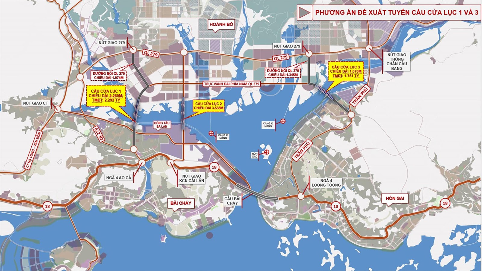
Illustration (source: internet)
- Be represented by symbols according to scale when linear geographic objects have a width of 1m or more for the 1:2,000 scale and 2.5m or more for the 1:5,000 scale; for area-type geographic objects, the principle of representation by scaled symbols is detailed according to each map data group;
- Be represented by semi-scaled symbols when linear geographic objects have a width of less than 1m for the 1:2,000 scale and less than 2.5m for the 1:5,000 scale;
- Be represented by non-scaling symbols for geographic objects that cannot be drawn to scale or when it is necessary to add symbolic icons in the middle of scaled symbols to enhance the visualization of the map;
- Be represented by explanatory annotations when geographic objects do not have symbolic icons or to explain the properties of the geographic objects.
Note:
- Elements of content must be presented parallel to the southern border of the map;
- All annotations must conform to the abbreviations in Appendix 3 issued with this Circular; the center position of the symbol is regulated in Clause 5, Article 8 of this Circular;
- When using symbols to accurately represent the position of a geographic object, the center of the symbol must coincide with the center of the object;
- When multiple geographic objects overlap requiring accurate representation, give priority to objects with higher importance and greater positional significance. Objects with lower priority should be broken or interrupted;
- When symbols intersect, the symbol with the upper spatial position should be fully represented, and the symbol below should be interrupted to avoid intersection (except in cases with specific symbol regulations);
- Non-scaling symbols with the center located within the map segment and protruding parts not exceeding 1/4 of the symbol should be drawn outside the border to complete the representation. If the center is near the inner border, it should be represented on both adjacent map segments, with the borderline stopping 0.2mm from the symbol.
Additionally, Circular 19/2019/TT-BTNMT also emphasizes regulations on the representation of the names of geographic objects on maps as follows:
a) Names must be repeated according to the existing names in the geographical database;
b) When names are missing or have changed from the geographical database, they must be investigated, collected, and standardized according to the regulations in QCVN 37:2011/BTNMT National Technical Regulation on standardizing geographical names for map creation;
c) For densely populated areas, the font size can be reduced to 2/3 of the font size specified in the symbols;
d) If the tolerance of the map does not allow representing all names of geographic objects as specified in Articles 9, 10, 11, 12, 13, 14, 15 of this Circular, prioritize representing names of large, significant, famous, or directional objects;
dd) Widely distributed geographic objects should have their names represented within their distribution area and can be repeated at appropriate, aesthetic intervals;
e) For long linear geographic objects, the names should be repeated at intervals of 10 to 15 cm;
g) For geographic objects spanning multiple map segments, their names should be repeated on all segments when the map content tolerance allows.
More details can be found in Circular 19/2019/TT-BTNMT which takes effect from January 23, 2020.
Thu Ba
- Number of deputy directors of departments in Vietnam in accordance with Decree 45/2025/ND-CP
- Cases ineligible for pardon in Vietnam in 2025
- Decree 50/2025 amending Decree 151/2017 on the management of public assets in Vietnam
- Circular 07/2025 amending Circular 02/2022 on the Law on Environmental Protection in Vietnam
- Adjustment to the organizational structure of the Ministry of Health of Vietnam: Certain agencies are no longer listed in the organizational structure
- Vietnam aims to welcome 22-23 million international tourists in Vietnam in 2025
-

- Number of deputy directors of departments in Vietnam ...
- 15:04, 05/03/2025
-

- Cases ineligible for pardon in Vietnam in 2025
- 14:43, 05/03/2025
-

- Decree 50/2025 amending Decree 151/2017 on the ...
- 12:00, 05/03/2025
-

- Circular 07/2025 amending Circular 02/2022 on ...
- 11:30, 05/03/2025
-

- Adjustment to the organizational structure of ...
- 10:34, 05/03/2025
-

- Notable new policies of Vietnam effective as of ...
- 16:26, 11/04/2025
-
.Medium.png)
- Notable documents of Vietnam in the previous week ...
- 16:21, 11/04/2025
-
.Medium.png)
- Notable documents of Vietnam in the previous week ...
- 16:11, 02/04/2025
-
.Medium.png)
- Notable new policies of Vietnam to be effective ...
- 16:04, 02/04/2025
-
.Medium.png)
- Notable new policies of Vietnam effective from ...
- 14:51, 21/03/2025
 Article table of contents
