Circular 19: National Topographic Map Symbols at 1:2,000, 1:5,000 Scale
Recently, the Ministry of Natural Resources and Environment has issued Circular 19/2019/TT-BTNMT prescribing technical regulations on the content and symbols of national topographic maps at scales of 1:2,000 and 1:5,000.
Currently, the national topographic maps at scales 1:2,000 and 1:5,000 are maps that depict the characteristics of topography, physical features, boundaries, and place names on land, islands, and archipelagos, constructed according to national technical standards and regulations at scales 1:2,000 and 1:5,000 in the national coordinate system and national elevation system for unified use across the country.

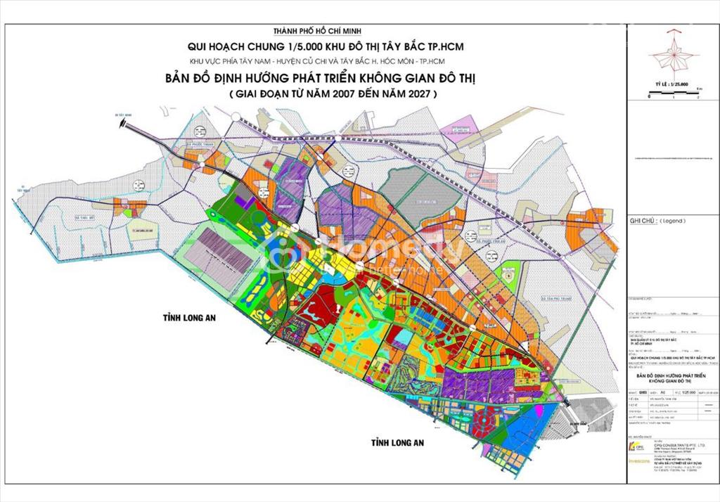
Illustration (source: internet)
The symbols for the national topographic maps at scales 1:2,000 and 1:5,000 are detailed in Appendix 2 issued together with Circular 19/2019/TT-BTNMT. The symbols for the national topographic maps at scales 1:2,000 and 1:5,000 are designed and used according to the following principles:
- Length units (dm, cm, mm) and area units (dm², cm², mm²) are the sizes measured on the map. Meter units (m) or square meters (m²) are the actual sizes of the geographic objects.
- The sizes and line weights of the symbols are annotated beside the symbols in millimeters. If the line weight is not annotated, the conventional line weight is 0.1 mm. Half-scale symbols only annotate the prescribed sizes for the non-scale parts; the remaining parts are drawn to the map scale. Uniformly distributed area symbols should be drawn similar to the sample if not otherwise specified; if specified, they must be drawn according to the specification. When the area of the represented object is smaller than 1 cm², it is permissible to reduce the distance between symbols but not more than 70% compared to the specification in the symbol sample, provided that the readability and clear distinction of the geographic object remain ensured.
- The font size specified in the symbols is the font size when printed on paper, measured in points (pt).
- The symbols for the national topographic maps at scales 1:2,000 and 1:5,000 are designed in the CKMY color system, with the color chart detailed in Appendix 1 issued together with this Circular.
See the full text of the regulation at Circular 19/2019/TT-BTNMT, effective from January 23, 2020.
Thu Ba
- Number of deputy directors of departments in Vietnam in accordance with Decree 45/2025/ND-CP
- Cases ineligible for pardon in Vietnam in 2025
- Decree 50/2025 amending Decree 151/2017 on the management of public assets in Vietnam
- Circular 07/2025 amending Circular 02/2022 on the Law on Environmental Protection in Vietnam
- Adjustment to the organizational structure of the Ministry of Health of Vietnam: Certain agencies are no longer listed in the organizational structure
- Vietnam aims to welcome 22-23 million international tourists in Vietnam in 2025
-

- Notable new policies of Vietnam effective as of ...
- 16:26, 11/04/2025
-
.Medium.png)
- Notable documents of Vietnam in the previous week ...
- 16:21, 11/04/2025
-
.Medium.png)
- Notable documents of Vietnam in the previous week ...
- 16:11, 02/04/2025
-
.Medium.png)
- Notable new policies of Vietnam to be effective ...
- 16:04, 02/04/2025
-
.Medium.png)
- Notable new policies of Vietnam effective from ...
- 14:51, 21/03/2025
 Article table of contents
