Background elements on the 1:200,000 groundwater resources map of Vietnam
On June 21, 2013, the Ministry of Natural Resources and Environment promulgated Circular 17/2013/TT-BTNMT stipulating the technical regulations for creating maps of groundwater resources at a scale of 1:200,000.
 Article table of contents
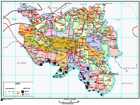
Background elements on the 1:200,000 groundwater resources map of Vietnam (Illustrative image)
According to Article 7 of Circular 17/2013/TT-BTNMT, the 1:200,000 groundwater resources map must ensure the representation of the following topographic elements:
- Mathematical base layer: map name, grid frame, elements outside the frame;- Topographic layer: contour lines, elevation points, elevation values;- Hydrographic layer: rivers, streams, lakes, and their names;- Transportation layer: roads, railways, bridges and their names;- Residential layer: concentrated residential areas, residential clusters;- Administrative layer: district and provincial People's Committee headquarters; names of administrative units;- Boundary layer: district, provincial boundaries, borderlines.
Note: Details of the topographic elements comply with the regulations in the geographic information standards issued by the Ministry of Natural Resources and Environment. Background topographic elements are reduced by 15 to 25%, to prioritize the representation of water resource elements.
Additionally, the hydrogeological background elements shown on the 1:200,000 groundwater resources map include:
- Distribution area of water-bearing and non-water-bearing objects: water-bearing structures, water-bearing rock formations or large water-bearing complexes and non-water-bearing structures, formations, complexes;- Water-bearing faults;- Groundwater quality.
For more details, refer to Circular 17/2013/TT-BTNMT, effective from August 5, 2013.
Le Vy
- Number of deputy directors of departments in Vietnam in accordance with Decree 45/2025/ND-CP
- Cases ineligible for pardon in Vietnam in 2025
- Decree 50/2025 amending Decree 151/2017 on the management of public assets in Vietnam
- Circular 07/2025 amending Circular 02/2022 on the Law on Environmental Protection in Vietnam
- Adjustment to the organizational structure of the Ministry of Health of Vietnam: Certain agencies are no longer listed in the organizational structure
- Vietnam aims to welcome 22-23 million international tourists in Vietnam in 2025
-

- Notable new policies of Vietnam effective as of ...
- 16:26, 11/04/2025
-
.Medium.png)
- Notable documents of Vietnam in the previous week ...
- 16:21, 11/04/2025
-
.Medium.png)
- Notable documents of Vietnam in the previous week ...
- 16:11, 02/04/2025
-
.Medium.png)
- Notable new policies of Vietnam to be effective ...
- 16:04, 02/04/2025
-
.Medium.png)
- Notable new policies of Vietnam effective from ...
- 14:51, 21/03/2025
