02 Requirements on Control Points for Remote Sensing Image Production
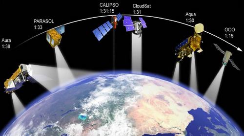
The production of remote sensing images is the process of processing to generate 1A remote sensing image data, 2A remote sensing image data, 3A remote sensing image data, and 3B remote sensing image data from level 0 remote sensing data.

Requirements for Ground Control Points for the production of remote sensing images (Illustration)
Circular 10/2015/TT-BTNMT stipulates certain requirements for ground control points to serve the production of remote sensing images as follows:
1. Regulations on selecting ground control points:
The features chosen as ground control points must be clearly visible both on the remote sensing images and on the map, must not be distorted by the process of map generalization or displaced due to large symbol sizes, and must be able to interpolate altitude. The recognition and identification error for the selected control points on the map should not exceed ± 0.1 mm.
- At the intersection of features or the edge of linear features (roads, dikes, dams, canals, creeks) with an intersection angle between 30° and 150°;- At characteristic points of independent features (bridges, culverts, building corners);- Ground control points must be selected and identified on remote sensing images printed from the original images.
2. Number and arrangement of ground control points:
- Ground control points must control all image scenes in the area. The minimum number of ground control points is 12 points/ 01 image scene, evenly distributed within each remote sensing image scene. In a block of remote sensing images, there must be at least 2 control points within the overlapping area between 2 image scenes;- Each image scene must have at least 2 check points, arranged at positions interspersed among the ground control points;- The coordinates of the ground control points are determined on the digital map using the information extraction tool of image processing software, digital map software, or GIS;
The diagram for designing the layout of ground control points is stipulated in Appendix 02, issued together with this Circular.
Furthermore, the Circular also stipulates the following requirements for the Digital Elevation Model:
- Use a Digital Elevation Model to rectify remote sensing images when the displacement of pixel positions due to terrain height difference is ≥ 0.3 mm according to the scale of the remote sensing image map. Otherwise, use the mean plane of the entire area to rectify the images.- The allowable error for the Digital Elevation Model used to rectify remote sensing images is stipulated in Tables 1 and 2 of Appendix 03, issued together with this Circular.
For details, see Circular 10/2015/TT-BTNMT, effective from May 12, 2015
Le Hai
- Number of deputy directors of departments in Vietnam in accordance with Decree 45/2025/ND-CP
- Cases ineligible for pardon in Vietnam in 2025
- Decree 50/2025 amending Decree 151/2017 on the management of public assets in Vietnam
- Circular 07/2025 amending Circular 02/2022 on the Law on Environmental Protection in Vietnam
- Adjustment to the organizational structure of the Ministry of Health of Vietnam: Certain agencies are no longer listed in the organizational structure
- Vietnam aims to welcome 22-23 million international tourists in Vietnam in 2025
-

- Notable new policies of Vietnam effective as of ...
- 16:26, 11/04/2025
-
.Medium.png)
- Notable documents of Vietnam in the previous week ...
- 16:21, 11/04/2025
-
.Medium.png)
- Notable documents of Vietnam in the previous week ...
- 16:11, 02/04/2025
-
.Medium.png)
- Notable new policies of Vietnam to be effective ...
- 16:04, 02/04/2025
-
.Medium.png)
- Notable new policies of Vietnam effective from ...
- 14:51, 21/03/2025
 Article table of contents
