What is a mental map? What level will students who are able to use mental maps in Vietnam be placed at?
What is mental map?
According to Item 8, lower secondary school Education Curriculum in History and Geography, issued along with Circular 32/2018/TT-BGDDT, a mental map is the spatial information about the world that is retained in the human mind.
The formation of a mental map is generally a subconscious process that begins in childhood.
Thanks to the mental map (the map in the human brain), ancient people from thousands of years ago could find their way to food sources and return to their homes.
A child, thanks to the mental map, can find their way to familiar places such as relatives' houses, schools, candy stores, toy stores, or playgrounds, etc.
A mental map is characterized by the marking of places that a person has encountered and visited.
A person’s mental map reflects how they perceive their living space (the surrounding area) and what significance that space has for them.
A person can also build a mental map for places they have never been to, such as a tourist marking locations they want to visit on a map through researching information from various sources.
Students, after learning about the geography of their nation, can visualize (and draw according to their imagination) the shape of the country's territory, important geographical features, which is also a mental map.
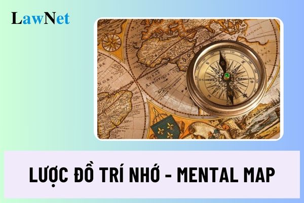
 What is a mental map? What level will students who are able to use mental maps in Vietnam be placed at? (Internet image)
What level will students who are able to use mental maps in Vietnam be placed at?
According to Sub-item 1, Item 8, lower secondary school Education Curriculum in History and Geography, issued along with Circular 32/2018/TT-BGDDT, lower secondary school students are evaluated to reach an application level when they use a mental map to summarize the content of the subject.
Note: lower secondary school students reaching the application level must also meet the following contents:
- Determine (field orientation, local time); research (through documents and field trips) historical and geographical issues or topics; connect (local reality); ask questions (about an issue); explore, etc.
- Present (some measures to prevent natural disasters, respond to climate change in a specific area); apply (learned knowledge) to specific cases, specific circumstances; propose (solutions); make (recommendations).
- Create/draw (appropriate charts); diagram (a phenomenon, process, causal relationship); build a document file (on an issue); read an atlas (extract information from different map pages) to present (an issue on the development and distribution of an economic sector, the natural, economic, and social characteristics of a territory); write a short report (based on collecting and analyzing, aggregating information from various sources); make presentations about an issue using PowerPoint (as a result of personal or group work); debate (about an issue); plan (a day field trip under the teacher's guidance); design (an environmental protection poster), etc.
Do lower secondary school students in Vietnam need to use a mental map to describe spatial perception when reaching scientific geographical cognitive competence?
According to Sub-item 2, Item 4, lower secondary school Education Curriculum in History and Geography, issued along with Circular 32/2018/TT-BGDDT stipulating as follows:
Perception of the world from a spatial perspective
- Spatial orientation: knowing how to use various means, especially a compass, to accurately determine directions; knowing how to determine the geographical position of a location and the direction on a map; knowing how to analyze the extent and scope of a territory.
- Analysis of geographical position: knowing how to analyze the impact of geographical position on natural and socio-economic processes.
- Analysis of distribution: being able to describe the distribution characteristics of geographical objects and phenomena.
- Expressing spatial perception: being able to use a mental map to describe spatial perception; being able to use a map to express spatial relationships between geographical phenomena and objects; being able to describe a locality with distinct features of nature, population, and economy. Thus, forming the concept of the identity of a locality, differentiating one locality from another.
Lower secondary school students in Vietnam must use a mental map to describe spatial perception when reaching scientific geographical cognitive competence.

